Somewhere on Google Maps, one contributor from New Caledonia has just crossed 200 million views. His name is David Guivant, and for nearly a decade he has been photographing his homeland for the platform, one trail, waterfall and forgotten ruin at a time — all in pursuit of a world record for the most unique photos ever uploaded to Google Maps.
The benchmark he is chasing belongs to Pako Valera, who has posted around 800,000 photos across Turkey and Spain. Guivant started small: roughly 4,000 images by 2017, which prompted his manager to joke about a world record. He took the bait, and has been walking the territory ever since with a basic Sony compact camera or a smartphone, documenting spots most locals have never heard of.
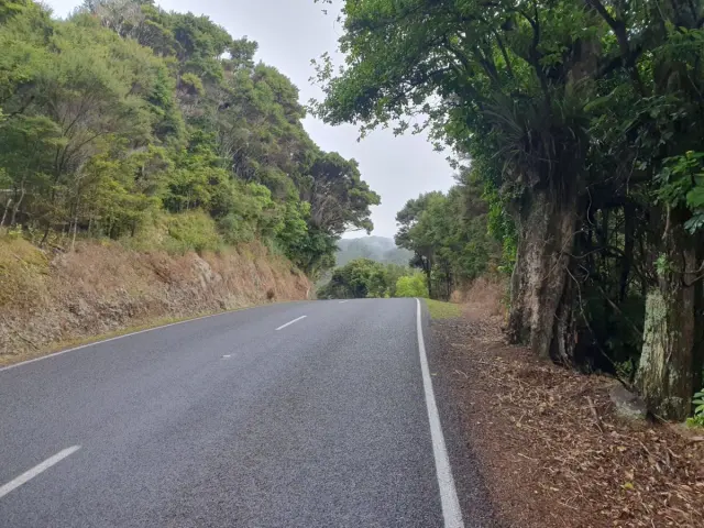
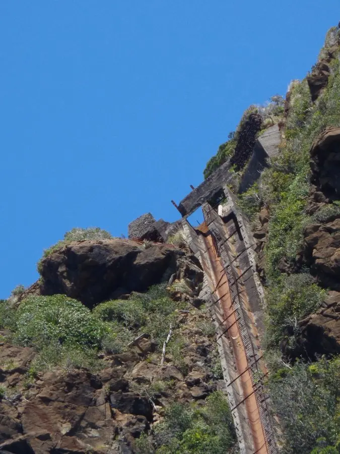
Those finds read like an itinerary in themselves. Jacob's Peak. Mê Paaya Mountain. Wadiana Falls. An abandoned Japanese iron mine. He and his friend Emryck, a former ambulance driver, estimate they have covered about 10 per cent of New Caledonia so far, using a borrowed vehicle and plenty of shoe leather. Guivant calls it "digital trekking", and every submission goes through Google's verification system.
The backstory gives the project a different weight. After four heart attacks and a spinal injury that ended his weightlifting days, walking became Guivant's lifeline, and photographing what he found along the way turned rehabilitation into something bigger. He frames the work in terms of faith and patriotism, but there's a practical payoff too: he hopes eventually to guide scientists and archaeologists to sites he has flagged, including what he describes as pyramid-like structures, prehistoric remains and fossilised prints that locals tie to the Nephilim of Scripture.
Why should this matter to a traveller? Because New Caledonia remains one of the Pacific's less-trodden destinations, and much of what Guivant documents sits well beyond the resort belt of Nouméa. His growing photo catalogue — now visible to anyone with a phone — is quietly building a free, crowdsourced guidebook to the archipelago's interior: waterfalls, summits and industrial relics that never made the brochures. Ironically, he notes many New Caledonians themselves barely know what Google Maps or Street View are, so his pages are as much about awakening local interest as luring outsiders.
If you're drawn to destinations where you can still be genuinely early, this is the kind of story that tips the scales. The main island, Grande Terre, offers a mix of nickel-mining heritage, Kanak culture, pine-studded savannah and a lagoon listed by UNESCO, with enough walking trails to fill several trips. Guivant's project shows how much remains undocumented even by the people who live there — and that the best reason to visit is the chance to discover something nobody has photographed yet.
Whether he ever overtakes an 800,000-photo record is almost beside the point. He has already put his island on the digital map, one verified step at a time.