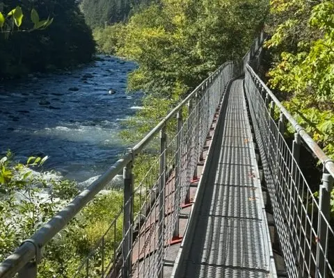
A 100-kilometre walking route from Orangeville to Lake Ontario is taking shape west of Toronto, and it's becoming one of the more interesting trail projects in Canada. The Credit Valley Trail will eventually run the length of the Credit River watershed, linking the Hills of the Headwaters in Orangeville down to Port Credit on the Lake Ontario shore.
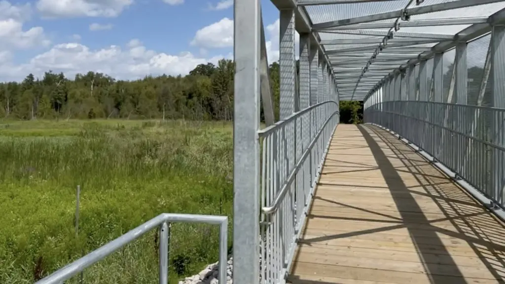
Progress is real, if gradual. Credit Valley Conservation (CVC) says 43 kilometres are already connected, with 57 still to go. A new 40-metre pedestrian bridge recently opened on the Tranmer property in the Upper Credit Conservation Area, north of the Dufferin County Road 109 crossing — one of the first big pieces of infrastructure for the route.
What sets this trail apart is how deliberately it centres Indigenous history. The valley is the traditional territory of the Mississaugas of the Credit First Nation and a gathering place for many Indigenous Peoples. Seven Indigenous Placemaking Sites are planned along the route, designed with guidance from Anishinaabe Elders and Knowledge Keepers. The first, the Ajijaak (Crane) Doodem site, opened at Island Lake Conservation Area in Orangeville in June 2024.
The next one is now funded. Highway operator 407 ETR has put $1.5 million toward the Giigoonh (Fish) Doodem site at the Charles Sauriol Conservation Area in Caledon, with construction expected to start next year. It sits on the banks of the Missinnihe (Credit River) and will feature an interpretive trail about Fish clan families, sharing Anishinaabe knowledge systems and cultural teachings. The same company has also commissioned artist Phillip Cote to create a mural on the Mississauga Road bridge over Highway 407, drawing on the teachings of the Mississaugas of the Credit, due for completion in October.
Money is the other piece of the puzzle. The Credit Valley Conservation Foundation has been fundraising since 2020 through a 10-year, $10 million campaign, and is about 65 percent of the way there thanks to corporate and community donors. CVC's chief administrative officer Terri LeRoux has called the project one of the most ambitious conservation and community-building efforts in the watershed, aimed at connecting communities physically, culturally and ecologically.
For hikers, this is worth watching even in its unfinished state. The route passes through conservation areas, Caledon countryside and riverside corridors that already offer good day walks, and the completed trail would let you walk from farmland north of Toronto all the way to a lakefront park in Mississauga. Right now you can sample finished sections — the Orangeville crane site, the Upper Credit lands, stretches near Port Credit — and watch new links appear over the next few years. It's also a rare example of a long-distance trail where Indigenous placemaking is a core design feature rather than an afterthought, which should make for a walk with more layers than your average riverside path.