A 69-year-old dayhiker who got lost on Mount Taylor in northwestern New Mexico came within hours of dying on the mountain — and was found after writing farewell letters to his family. The story, reported by Backpacker, is a stark reminder of how fast an ordinary hike can go wrong, and how a few simple preparations made the difference.
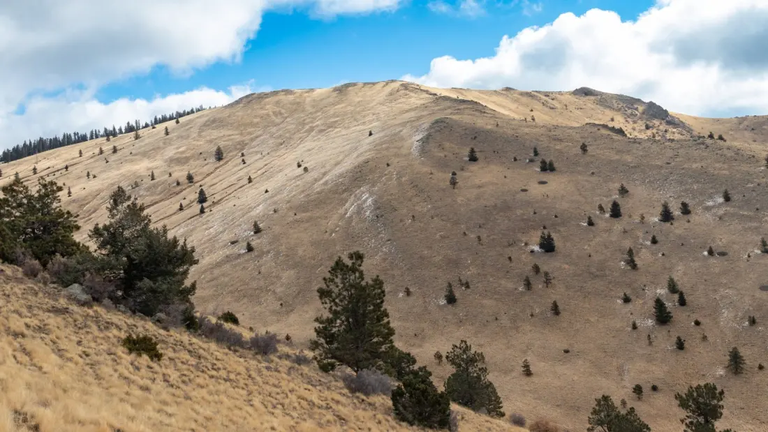
The trouble began on October 10, when the hiker lost cell service and his bearings in Cibola National Forest. Mount Taylor is an 11,301-foot stratovolcano and the highest point in the forest; the standard summit route is a 6.3-mile round trip with about 2,000 feet of gain, threading conifer forest, meadows and rocky outcrops before emerging onto an exposed ridgeline. It's a popular dayhike, not an expedition — which is precisely why people underestimate it.
What triggered the rescue was a location-sharing app. The man's son had installed Life360 on his dad's phone before the trip, noticed something was off when tracking data stalled, and called 911 around 3 a.m. Teams from Cibola Search and Rescue and the Albuquerque Mountain Rescue Council turned out in the dark. According to incident commander Lauri Dodge, two rescuers synced radios to a repeater, hiked cross-country through rugged terrain, followed tracks, then ran sound sweeps — shouting and listening for replies — until they located the man high on a ridge.
By then he was mildly hypothermic and badly dehydrated, writing goodbye notes because he didn't expect to survive the night. Rescuers warmed and rehydrated him, then walked him down over three hours to a UTV, an ambulance and finally a helicopter. He's now recovering at home in Kansas.
Dodge's takeaway: the man survived partly because he stayed put once he realised he was lost, rather than wandering further. Her advice for anyone heading into New Mexico's mountains is to leave a trip plan with someone you trust and carry a dedicated emergency device — a satellite messenger like a Garmin inReach, or at minimum a location-sharing app. "New Mexico has a lot of beautiful mountains to go explore, but they are very rugged and they're very high, and a lot of them are very remote," she said.
For travellers, this is worth taking seriously. The state's high-desert peaks look inviting on a sunny morning, but afternoons bring weather swings, temperatures drop fast at altitude, and coverage vanishes quickly outside towns. The Life360 detail mattered here because family could see something was wrong without any cell signal — but a satellite device works even when no one is watching the app. Carry more water than feels necessary, pack insulation even for a short dayhike, and tell someone exactly where you're going and when you expect to be back.
Mount Taylor itself remains a rewarding, achievable summit for fit dayhikers, with sweeping 360-degree views from the top. The mountain hasn't changed — but the margin for error is thinner than the trailhead parking lot suggests.