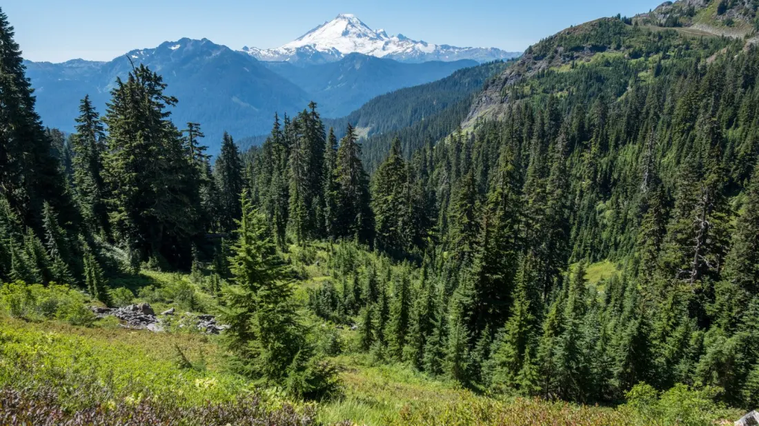
Mount Rainier National Park gets the headlines — wildflower meadows, old-growth forest and a 14,410-foot volcano visible from Seattle — but the crowds follow the fame. For similar Pacific Northwest drama without the tour-bus queues, head one park north. Mount Baker-Snoqualmie National Forest sprawls across roughly 1.7 million acres between the northern edge of Mount Rainier and the western edge of North Cascades National Park, packed with 10,000-foot peaks, ski runs, alpine lakes and waterfalls, much of it reachable straight off paved roads.
Access is refreshingly easy for somewhere this remote-feeling. US Highway 2 serves the southern sections, while State Route 542 pushes north toward Mount Baker itself — a 10,778-foot volcano and the forest's crown jewel. Both routes link up with Interstate 5 along the Puget Sound, making this a natural add-on to any Seattle road trip.
In winter, the Mount Baker Ski Area is the draw, with gear rentals, lessons ranging from single days to multi-week courses, and terrain from beginner greens to double black diamonds. The Heather Meadows Day Lodge makes a good warm-up stop, and it opens in the warmer months too, with a cafe looking out over the mountain's green summer slopes.
Summer's signature outing is the drive to Artist Point at the end of Route 542, open from late June until the first big snowfall, usually sometime in early October. The viewpoint delivers sweeping looks at both Mount Baker and neighbouring Mount Shuksan, and several hiking trails start right by the parking lot. The pick of them is the Chain Lakes Trail, a 6.5-mile round trip known for its string of vivid blue alpine lakes ringed by peaks. You can start at its own trailhead or from the Heather Meadows Visitor Center via the Wild Goose Trail.
South of Mount Baker, the forest serves up quieter magic. The 4-mile round trip to Bridal Veil Falls, reached from Mount Index Road, ends beneath a waterfall more than 100 feet tall, close enough to feel the mist. Push on a little further to Lake Serene, where mountains rise almost sheer from the water's edge — a serious payoff for a few extra steps. Then there's the forest's strangest sight: the Big Four Ice Caves, where avalanche snow piled against Big Four Mountain melts and warps into cave-like formations you can walk to. The 2.2-mile round trip trail from Mountain Loop Highway has boardwalks and barely any steep bits, so it works for families and less confident hikers too.
For travellers who love the idea of Rainier but dread the parking scrambles and peak-season crowds, this forest delivers the same jagged-volcano scenery, plus skiing, waterfall hikes and an ice-cave oddity, with a fraction of the foot traffic. Build two or three days around Highway 2 and the Mountain Loop Highway and you'll see most of the highlights. Thanks to Explore.com for the original reporting.