
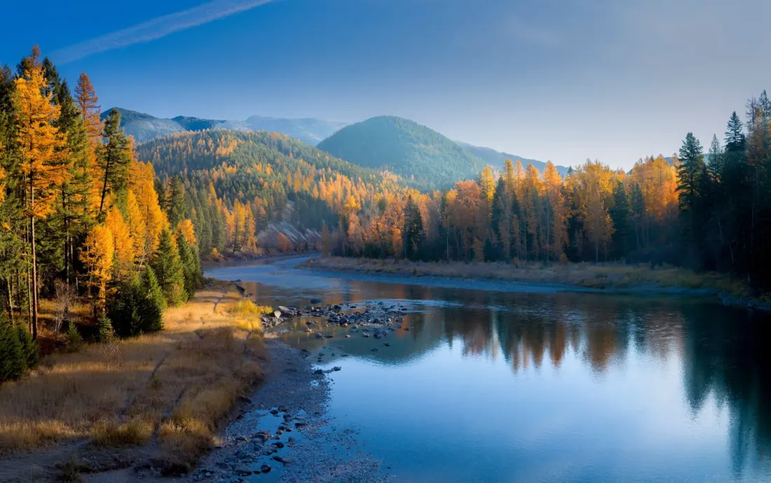
Montana rarely makes the shortlist for autumn colour, but that's more about marketing than scenery. Nearly 30% of the state is forested — close to 26 million acres, according to the Department of Natural Resources — so there's no shortage of trails where you can walk straight into the middle of the season.
The new wrinkle for this year is a fall foliage map from the state, designed to help travellers nail the timing. Montana's leaf season is brief and early compared with New England or Colorado: peak colour typically runs from late September to mid-October, and a cold snap or stiff wind can cut it short fast. The map factors in recent temperatures, frost, rainfall and ground observations, then forecasts how conditions will develop — so you can sketch out a road trip weeks in advance rather than gambling on arrival.
Finding it is simple. Head to the Visit Montana Press Room and scroll to the fall foliage map. It uses six colour-coded zones, from little or no colour through to past peak. For planning purposes, you're aiming for the moderate, high or peak zones.
Where to point the car? Bozeman and Missoula are reliable bases surrounded by quality woodland, and Glacier National Park delivers the most dramatic backdrop of all — golden larches and aspens against jagged peaks. Forests cover so much of the state that even casual drives between towns turn into leaf-peeping runs, which makes Montana well suited to an unplanned-feeling loop itinerary rather than a single fixed stop.
Why it matters: if you've already done Vermont or the Rockies and want the same spectacle with a fraction of the crowds, this map removes the main risk of a Montana autumn — mistiming a season that lasts only a few weeks. First-timers get a data-backed window to aim for, and returning visitors can chase the peak as it moves across the state's different elevations. Just build some flexibility into the schedule, because in a northern, high-elevation state, the forecast can change overnight.
Story via TravelAwaits.