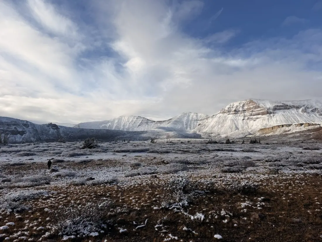
High above northern Utah, a 103-mile track runs the length of the Uinta Mountains, averaging around 11,000 feet and topping out near 13,000. It's called the Uinta Highline Trail, and one hiker tackled it in late September — just two and a half weeks after finishing the Appalachian Trail — and found it a completely different beast from the East Coast classic.
Unlike the AT, there are few guidebooks, no resupply towns and barely any other people. The hiker and her companion had to carry six days of food and build their own GPS maps in CalTopo for route-finding, since sections of trail simply vanish into bogs, meadows and burn zones. Altitude was the other big variable: she gets sick above 10,000 feet, so she prepped with short acclimatisation hikes and a prescription for acetazolamide, the standard altitude-sickness medication.
The route itself delivers varied, dramatic terrain. Most hikers skip the first 30 dry miles by starting at Leidy Peak, but purists can begin at McKee Draw on the eastern end. From there, the trail hops basin to basin over high passes — Gabbro, North Pole, and the notorious Dead Horse Pass, whose ledge-hugging switchbacks look terrifying from the aquamarine lake below but are manageable on foot. Anderson Pass, the highest point at 12,700 feet, sits within a short scramble of Kings Peak, Utah's state high point. A side trip up Kings is a popular add-on, though snow can turn the wind-scoured slopes slippery and risky.
Timing matters enormously. A late-September start means golden autumn colours but also freezing nights, early sunsets and possible snow — this hiker woke to an inch of it after a storm that left her genuinely anxious about safety. Above 12,000 feet, the terrain turns almost Mars-like, while lower basins stay lush with creeks and evergreens. Wildlife is a highlight too: elk bugling in the meadows at night, and the only other human encountered in a week was a single day hiker.
Why should a traveller care? Because this is one of America's genuinely remote week-long hikes, closer in spirit to a mini Wind River High Route than to a busy national trail. It suits fit, self-sufficient hikers with prior backpacking experience who want solitude, real route-finding challenges and high-alpine scenery without a permit lottery. The trade-offs are steep: no infrastructure, soaked shoes from boggy meadows, and a need to be comfortable navigating by GPS when the trail disappears.