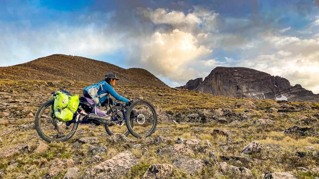
Quinn Brett was a National Park Service climbing ranger in Yosemite when a 120-foot fall on El Capitan in 2017 left her paralyzed from the waist down. Suddenly, the public lands she'd spent her career protecting became obstacles: missing curbs, rough trailheads, single-track paths designed only for boots. Now 36, she runs Dovetail Trail Consulting, and her work just helped launch something genuinely useful for travellers with mobility disabilities.
On October 13, the Bureau of Land Management rolled out an interactive accessibility map covering its vast network of recreation sites. The tool flags 50 existing accessible opportunities — trails, campsites, toilets — with real detail rather than a generic wheelchair symbol. One entry, McCoy Flats in Utah, notes the parking lot's packed gravel surface, extended picnic tables, and vault toilet entrances. A further 74 sites are listed where improvements are proposed: some, like Colorado's Blue Valley Ranch Trail, are fully funded and under construction, while others, including New Mexico's Glade Run Adaptive Trail, are still seeking money.
The clever part is crowdsourcing. Users photograph public-land sites and submit descriptions of the infrastructure, so other visitors can judge conditions before setting out. As Brett points out, no construction project required — just pictures. That matters because the CDC estimates nearly one in ten Americans lives with a mobility issue, and many of them don't want the standard one-mile paved loop at the park entrance. Modern mobility devices can handle rocks, roots and steps; it's often a narrow gate or a hastily thrown-down 12-inch bridge that actually blocks the way. Brett argues that including disabled hikers in trail assessments would help land managers spot exactly those barriers.
The BLM map sits inside a wider push. The nonprofit Move United, whose COO Julia Ray notes that trails 'change with weather and seasons' and need constant re-checking, has assessed more than 17 miles of trail with Mount Rainier and Grand Canyon National Parks, and built a free course teaching land managers federal accessibility standards.
Why should any traveller care? Because good accessibility information changes how you plan a trip. Instead of guessing whether a trailhead's gravel will defeat your chair or a campsite toilet will be usable, you can pick your route, your equipment and your level of challenge in advance. For anyone travelling with an older relative, a stroller, or a mobility device, this map is a genuinely practical planning tool — and it covers some of the wildest, least-crowded BLM land in the American West. Expect more detail over time too: the BLM says it will keep refining the data, so the map should only get better.