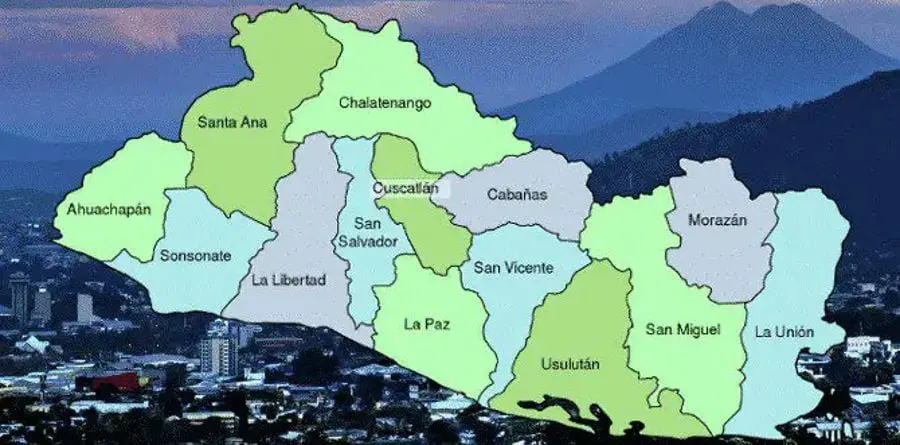
El Salvador packs a surprising amount of variety into Central America's smallest mainland country, and its 14 departments — grouped into western, central and eastern zones — are a handy way to make sense of it. A 2024 territorial overhaul cut the number of municipalities from 262 to 44 (with the old municipalities becoming districts), but the departments themselves stayed intact. The national total sits at roughly 5.9 million people, with San Salvador department the most populous at about 1.56 million.
The west is the classic first stop. Ahuachapán, on the Guatemalan border, is highland country of coffee farms and geothermal hills, home to Concepción de Ataco and Apaneca on the well-known Ruta de las Flores. Santa Ana combines a handsome cathedral-topped capital with the Santa Ana Volcano hike, Lake Coatepeque and the Tazumal ruins. Sonsonate adds Nahuizalco's markets, Izalco's traditions and the snorkelling spot of Los Cóbanos on the Pacific.
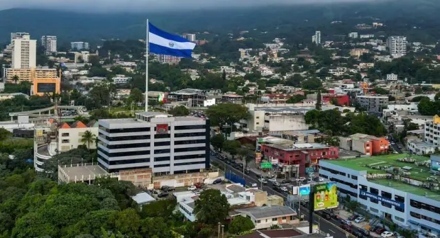
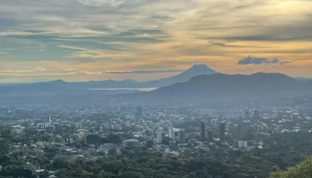
The central zone carries the country's urban and historical weight. San Salvador holds the capital, National Palace and museums; La Libertad has the surf beaches of El Tunco and El Zonte plus the archaeological sites of Joya de Cerén and San Andrés. Chalatenango, to the north, is the cool escape — La Palma's handicrafts and El Pital's highlands. Quieter pleasures include colonial Suchitoto in Cuscatlán, Olocuilta's famous rice-flour pupusas and Costa del Sol beach in La Paz, Ilobasco pottery in Cabañas, and San Vicente's clock-tower town beneath the Chichontepec volcano.
The east rewards travellers who push further. Usulután offers Jiquilisco Bay's mangroves and the crater lake at Alegría; San Miguel hosts one of the country's biggest carnivals and the Chaparrastique volcano, with quieter sands at El Cuco. Morazán's mountains around Perquín give insight into the civil war era and the Río Sapo's forests, while La Unión sits by the Gulf of Fonseca with Conchagua Volcano and island views towards Honduras and Nicaragua.
Why bother with the administrative detail? Because department boundaries are the fastest way to group attractions sensibly. Surfers head to La Libertad or the eastern coast; volcano-and-coffee lovers base themselves in the west; slow-travel types focus on Chalatenango, Suchitoto and Morazán. It also helps you understand climate swings — highlands run cool year-round while the coast stays hot — and travel times in a country you can cross end to end in a few hours by road.
Governance-wise, each department gets a governor appointed by the national government, with elected municipal councils handling local matters — useful context if you're driving between regions or dealing with local offices, though mostly it's just a smarter map. Travel tip: pair neighbouring departments on single day-trips (Santa Ana city plus the volcano; Suchitoto plus San Salvador) rather than zig-zagging.
El Salvador Info