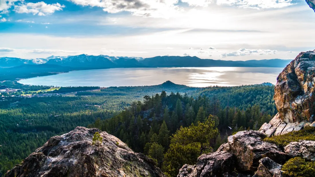
Lake Tahoe's postcard views come with a serious edge: the Sierra Nevada terrain around the lake holds peaks over 10,000 feet and a handful of trails that even seasoned hikers treat cautiously. A recent roundup of the area's riskiest routes highlights five walks where falls, weather, altitude and remoteness can turn a day hike into an emergency.
The most accessible of the five, the Shirley Canyon Trail near Olympic Valley, packs 1,350 feet of gain into six miles of boulder scrambling, cliff edges and patchy waymarking — and much of it crosses private land with little official maintenance. Snowmelt keeps sections slick well into summer, so boots with grip, poles and a downloaded map (follow the blue markers) are essentials.
Mount Tallac, the highest peak on Tahoe's shoreline at 9,735 feet, is a 10-mile grind through the Desolation Wilderness. Its summit sits roughly 1,700 feet above the altitude-sickness threshold, above the tree line and exposed to lightning, with fall-prone ridgelines and a scree field near the top. Black bears live here too — bear-proof food canisters are mandatory.
Castle Peak, a former volcano with castle-turret rock towers, involves a strenuous 7.5-mile route with stretches gaining over 1,000 feet in 1.5 miles and Class 3 scrambling that calls for helmet, ropes and harness. Its slopes carry real avalanche danger; an avalanche in February 2026 killed nine skiers there during a severe storm. June to October is the safe window, with live checks of the Sierra Avalanche Center and a personal locator beacon advised.
The 15-mile haul to Tinker Knob via the Granite Chief and Pacific Crest Trails climbs 4,000 feet to an 8,949-foot summit with unmarked sections and little tree cover — a lightning and heat trap in a remote zone where rescue is slow. Carry ample water, as natural sources may carry pathogens.
Shortest but punishing, the 3.8-mile Rubicon Peak Trail near Emerald Bay throws more than 2,000 feet of vertical at hikers, shifting from dirt path to loose scree and boulder fields. Its unmaintained, hard-to-follow upper sections are best tackled June through October; crampons and an ice axe are wise outside that window.
The common thread: never hike these alone, check forecasts and trail advisories before setting out, pack extra water, snacks and layers, and carry a satellite-capable device and first-aid kit. For fit, well-prepared hikers, these routes deliver Tahoe's finest high-country views; for everyone else, the lake's easier shoreline trails are just as rewarding and far kinder.