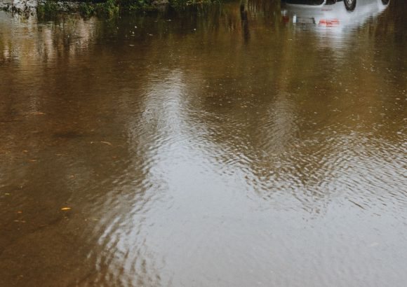
Holidaymakers in the Dominican Republic should pack more than sunscreen this week. Meteorologist Jean Suriel is warning of several days of unsettled weather, with heavy rain, thunderstorms and gusty winds forecast from Thursday through Sunday — and a real risk of urban and flash flooding in the worst-hit areas.
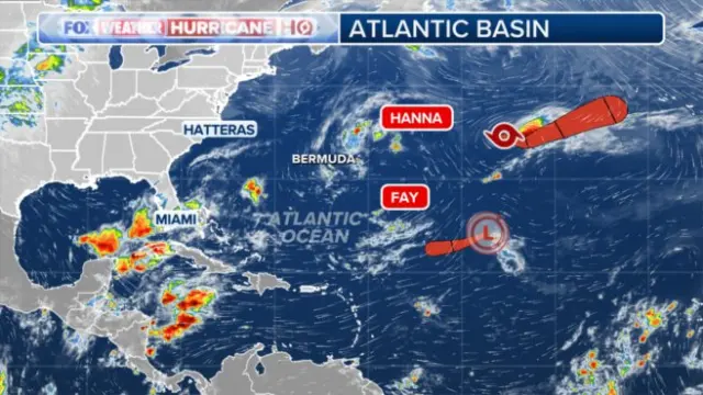
The wet spell is the result of three things overlapping: a trough moving in from the Atlantic, humid winds feeding in from both the Caribbean and the Atlantic, and leftover moisture from Tropical Storm Fay. Individually none of these would be dramatic, but together they create the kind of setup that produces sudden downpours, lightning and localised flooding — particularly in cities and low-lying areas where drainage struggles to cope.
Thursday afternoon looks wettest across the south, southeast, east, northeast and north of the country, as well as the Central Mountain Range, with moderate showers also possible near the Haitian border. Conditions are expected to intensify on Friday as the trough arrives, backed by the indirect pull of an Atlantic low-pressure system. Saturday and Sunday should stay showery, with thunderstorms, strong gusts and even the chance of hail in the mountains.
The good news for anyone arriving early next week: Suriel expects the rain to ease on Monday as the trough moves off, though scattered showers may linger thanks to marine moisture. Temperatures will also climb, turning very hot — so the trade-off is muggier, stickier conditions once the downpours pass.
If you're on the island right now, a few practical steps go a long way. Keep an eye on local forecasts and alerts from Dominican meteorological authorities, avoid crossing flooded streets or storm drains (urban flash flooding is the main hazard, not the rain itself), and build some slack into any travel days involving mountain roads, which can be affected by runoff or landslides. Beach and boat excursions may be rescheduled while seas are rough, so check with your tour operator before heading out.
For travellers with trips booked in the coming days, there's no need to panic — this is a typical tropical weather pattern rather than a direct hurricane strike. Resorts and airlines in Punta Cana, Santo Domingo and Puerto Plata are used to handling wet-weather days, and most disruptions tend to be short and local. But it's worth packing a light rain layer, planning indoor backups for excursion days, and confirming any transfers that depend on coastal or mountain routes.
Who should pay closest attention? Anyone travelling between Thursday and Sunday — especially to the east coast, the north coast and the Central Mountain Range, where rainfall will be heaviest. Those flying in from Monday onwards are more likely to find hot, mostly dry conditions with the odd passing shower.
We'll keep an eye on how the forecast develops over the weekend.
Story first reported by Dominican Today.