After grinding through Maine and New Hampshire, a southbound Appalachian Trail hiker has reached a milestone that most long-distance walkers dream about: Vermont. Crossing the Ledyard Free Bridge out of Hanover, New Hampshire, puts you at roughly mile 1,755 of the trail and marks the end of the White Mountains — widely considered the hardest stretch of the entire 2,190-mile route.
The day began at the Trescott Road trailhead just after 7:30AM on a mild, overcast morning of about 55°F. The first five miles dropped gently into Hanover, the Dartmouth College town where the trail runs straight down the high street past the campus Green, cafes and bookshops before the road walk over the river. It's one of the nicest town sections on the whole trail — flat, friendly, and easy on the legs.
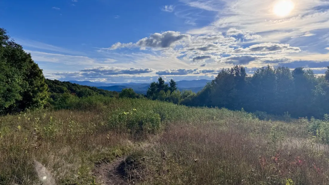
On the Vermont side, the trail ducks under Interstate 91 and rolls through Norwich, a village of century-old buildings and backyard vegetable gardens, before climbing into the Green Mountain National Forest. And this is where the story turns: after weeks of New Hampshire's boulder fields and ladders, the forest paths here are described as among the easiest and most enjoyable walking in months. Smooth tread, gentle grades, and open farm fields make Vermont a favourite for hikers worn down by the Whites.
Timing matters too. Late September in Vermont means peak-or-nearly-peak fall foliage, with leaves turning daily and that sweet, toasty smell of fallen leaves in the air. For anyone planning a New England hiking trip, this corridor — Hanover to Norwich and deeper into the Green Mountains — is one of the best-value ways to taste the AT without committing to a thru-hike. Day hikes around Hanover's wooded trails, a stroll across the bridge between the two states, and a section walk into the national forest can all be stitched together in a long weekend.
Small-town trail magic is part of the appeal. In West Hartford, Vermont, the library and community centre sits right on the trail with a 'hikers welcome' sign, free water, and librarians who will make you a cup of green tea while you browse historical photos of a town rebuilt several times after White River floods, most recently after Hurricane Irene. It's a reminder that on the AT, the towns are often as memorable as the summits.
This particular leg covered 25 miles over three segments, ending with a steep but short climb to a hilltop campsite near Pembroke Road — tent sites with a sunset view and a head start on the next day's miles. For hikers heading southbound, it signals the start of a friendlier stretch; for section hikers and holiday-makers, it's a strong case for putting Vermont at the top of your fall hiking list.