
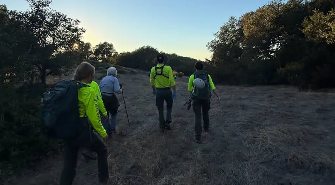
An 88-year-old hiker who wandered off-trail at Mount Burdell Preserve near Novato, California, was found safe on November 10 — thanks in part to a FaceTime feature most people don't know exists. When standard phone-tracking tools failed, a teenage search-and-rescue volunteer remotely accessed her iPhone screen and pulled her GPS coordinates just before dark.
The woman had become separated from her hiking companions and, unclear on her location, headed downhill off the established trail. Her group couldn't find her, so they called for help around 2 P.M. Roughly 50 volunteers from Marin County Search and Rescue mobilised, but dispatchers and the team's mapping platform CalTopo both struggled to pin down her position. Apple's Find My feature didn't work either. The reserve's rolling hills and scattered trees gave her no landmarks to describe.
Enter Cody Davis, a 17-year-old high school senior and one of the first volunteers at the command post. After about an hour and a half of phone calls that kept dropping — and patient step-by-step coaching of a hiker who wasn't familiar with her own device — he remembered that newer versions of FaceTime let one user control another person's iPhone screen with permission. He adjusted her location settings, pulled coordinates from the Maps and Compass apps, and relayed them to field teams. Rescuers reached her around 4 P.M.; she walked out uninjured and in good spirits. Davis even watched the moment of contact happen live on their FaceTime call.
There's a broader takeaway for anyone who hikes: Marin County's SAR team credits the quick find to Davis's persistence, but the hiker helped herself too. She had a charged phone, cell service, and answered when rescuers called — things that aren't guaranteed. "Often when we get called for a search, somebody doesn't call until their phone is dying," operations director Molly Williams told Outside.
The rescue also highlights the less obvious survival rules. Stay with your group if you hike at different speeds. If you do get lost, stay on the trail rather than descending toward a road — search teams check trails first. And learn how to read GPS coordinates from your phone's Maps or Compass app before you set out, so you can simply tell rescuers where you are.
For hikers in Marin County and beyond, Mount Burdell is exactly the kind of place where this matters: open grassland hills with few distinguishing features and patchy landmarks. A charged battery and two minutes of practice with your compass app could be the difference between a two-hour search and an all-night one.