
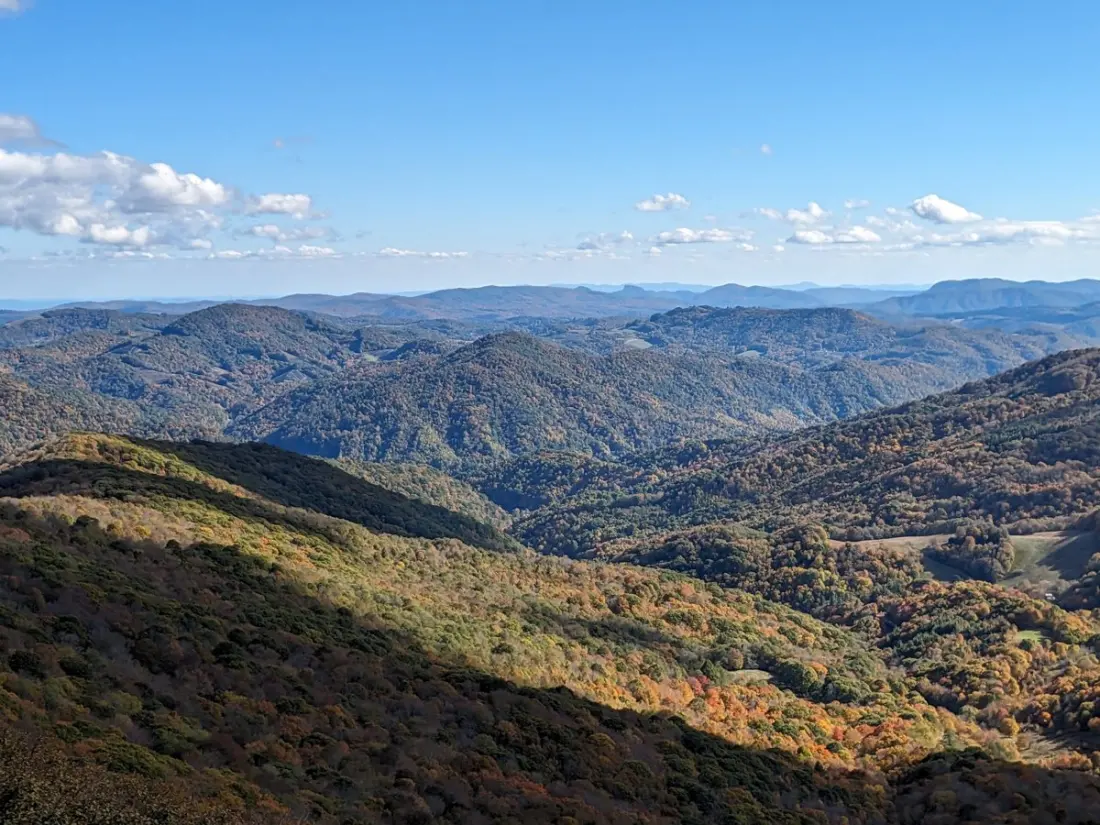
When the last thru-hikers shuffle off the Appalachian Trail for the season, something interesting happens: the crowds thin out, the air turns crisp, and the leafless trees open up ridgeline views you simply don't get in summer. November, argue the folks at The Trek, is quietly one of the best months for a weekend backpacking trip on the trail — provided you pick your section wisely and skip the high, exposed northern stretches where winter arrives early.
Their pick of the bunch starts in Virginia. The 12.9-mile point-to-point over McAfee Knob and Tinker Clabs near Catawba serves up the trail's most photographed rock overhang plus sweeping valley views, though camping is limited to designated shelters like Lamberts Meadow and Campbell Shelter, and water sources can run dry late in the season. Also in Virginia, the 13.9-mile Grayson Highlands loop trades forest for open balds patrolled by wild ponies and longhorn cattle, with a short detour to the summit of Mount Rogers, the state's high point. Just note: no campfires allowed, and weather on those balds can turn nasty fast.
Pennsylvania's 17.8-mile Lehigh Gap out-and-back is for hikers who like a story with their suffering. The exposed talus slopes here were killed off by decades of zinc smelting, making the area one of America's earliest Superfund sites, and the boulder-strewn path will hammer your ankles. The turnaround at Bake Oven Knob rewards you with pastoral farmland views. Carry extra water — sources on the ridge are unreliable.
Down south, the 16.9-mile Charlie's Bunion and Kephart loop in Great Smoky Mountains National Park starts near Kuwohi (formerly Clingmans Dome) and hits one of the trail's most dramatic overlooks. You'll need an advance backcountry permit, and nights regularly drop below freezing. Hot Springs to Max Patch in North Carolina (19.4 miles) ends on a huge 4,600-foot grassy meadow with views from the Black Mountains to the Smokies — but camping and fires are banned on the bald itself, so pitch below the crest.
History buffs should look at the 14.7-mile route from Weverton Cliffs to Harpers Ferry, where low elevation makes it doable even as winter closes in. You finish among 19th-century streets and Civil War sites where three states meet — though the flat C&O Canal towpath sections drone with passing freight trains. Shenandoah's 18.7-mile Old Rag loop delivers the Mid-Atlantic's best rock scrambling plus waterfall-lined descents; permits and early-morning parking are essential.
Rounding out the list: the 15.3-mile alpine-style ridge walk over Round Bald, Jane Bald and the Hump Mountains from Carvers Gap on the Tennessee–North Carolina line; a 13.1-mile climb to the Wesser Bald fire tower above the Nantahala Gorge; and, as a bonus, the 22.9-mile Dolly Sods loop in West Virginia — technically not on the AT, but its tundra-like moorland feels a world away. Hikers there should watch for muddy bogs and follow guidance about unexploded WWII-era ordnance in the area.
For anyone who owns a tent and a free weekend, this is a genuinely useful playbook: shoulder-season AT hiking means solitude, long views and cooler hiking temps — just pack layers, check forecasts, and verify water and permit rules before you go. Story via The Trek.