Most hikers have heard of the John Muir Trail. Far fewer have heard of its tougher, quieter sibling running parallel through the Sierra Nevada: the Sierra High Route, a roughly 195-mile line across California's highest country that National Geographic has counted among its 10 North American Hikes of a Lifetime.
Climber Steve Roper mapped the route in the 1970s specifically to escape the crowds on the JMT, and it shows — only a handful of people finish it each year, compared with roughly 1,500 who tackle the John Muir Trail annually. There's a good reason it's called a route rather than a trail: for most of its length, there simply isn't one. Hikers navigate cross-country over granite, talus and scree, relying on Roper's book "Sierra High Route: Traversing Timberline Country," maps and GPS rather than trail markers.
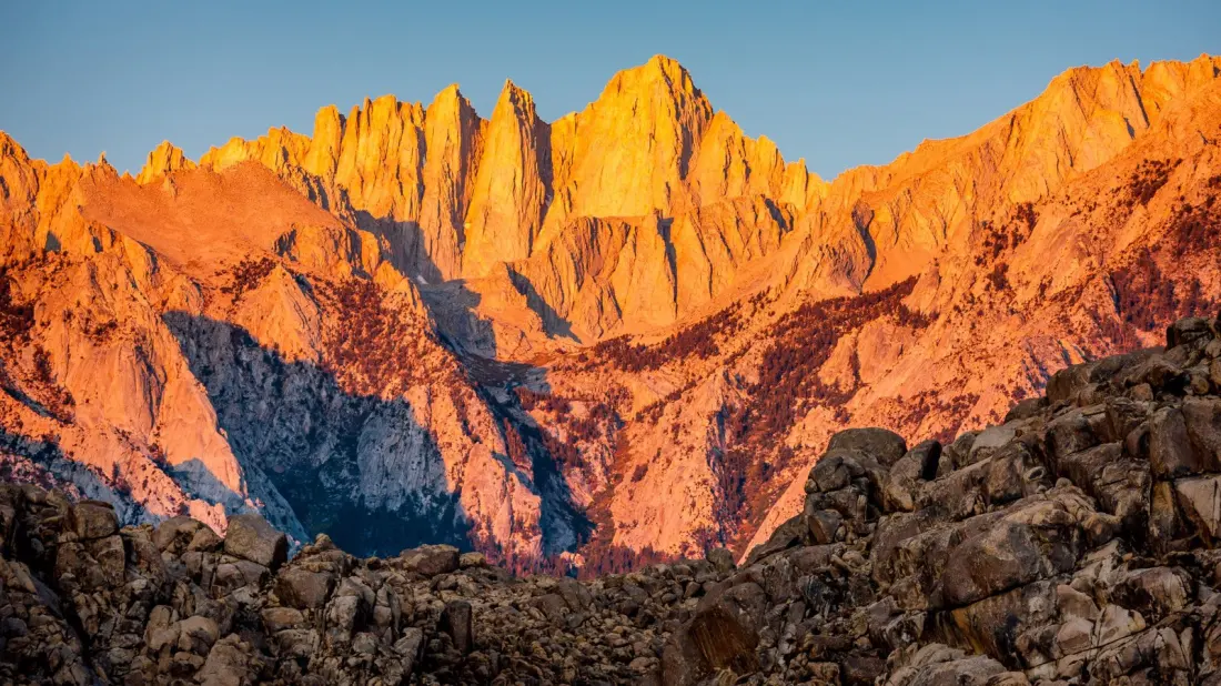
The route links Roads End Trailhead in Kings Canyon National Park in the south with Mono Village at Twin Lakes on Yosemite's northern edge, split into five sections. Most of it sits between 9,500 and 12,500 feet, crossing more than 30 mountain passes. The reward for all that effort is classic Sierra scenery — the "Range of Light," as John Muir called it — with alpine meadows, cobalt lakes, granite peaks, views of the Minarets, and wildlife including pikas, bighorn sheep, bears and mountain lions. The route also passes Devils Postpile National Monument and several wilderness areas.
This is not a trip for beginners. There are no facilities along the way, weather can swing from blazing sun to storm in an afternoon, and the sustained altitude brings a real risk of sickness — headaches, nausea, fatigue and shortness of breath are warning signs to watch. Most people take two to three weeks, ideally between July and September when the snow has melted. A wilderness permit from Recreation.gov is required, and rules vary between the areas you cross.
Kit matters here: a bear canister, water filter, reliable maps, sun protection and waterproofs are essentials, and a satellite communicator is smart given the near-total lack of cell service. Red's Meadow is the main resupply point and a good spot for a rest day. For hikers not ready to commit three weeks, the route can be broken into sections, with several trails providing access partway along.
For anyone who has already done a major thru-hike and wants genuine solitude, expert navigation practice and some of the finest high-country scenery in North America, the Sierra High Route is about as good as it gets — as long as you respect just how demanding it is.