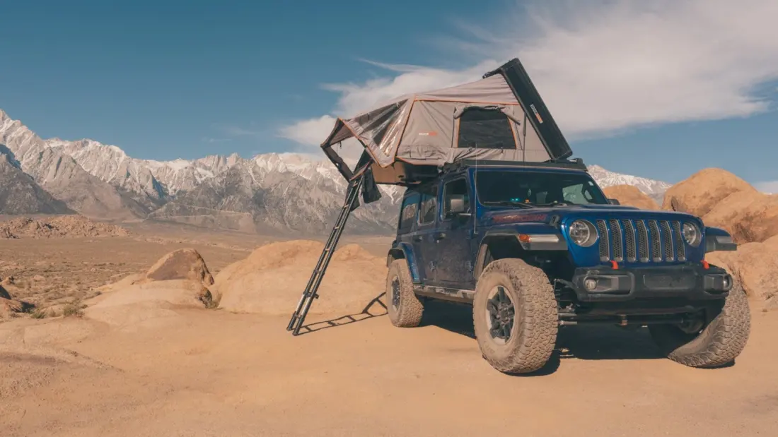
Full-time overlander and photographer Jay Clue has driven more than 50,000 off-grid miles across North America since switching to life on the road in 2024, and his verdict is blunt: the best campsites don't take reservations. His answer to crowded front-country campgrounds — and to the ticket-release scramble of booking national park sites — is to leave pavement behind entirely. Overlanding, he stresses, isn't about six-figure rigs or cliff-hanging stunts; it's just vehicle-based camping, using your 4x4 as a mobile backpack. A dirt track, a map and a sense of adventure will do.
His first pick is Utah's San Rafael Swell, a couple of hours southeast of Salt Lake City. Spanning roughly 2,000 square miles — nearly the size of Delaware — this sandstone upheaval is laced with hundreds of miles of dirt roads that filter out the crowds who stick to Utah's Mighty 5 national parks. Days here can be spent hunting dinosaur tracks, Native American rock art panels, pioneer homesteads and abandoned Cold War uranium mines, then cooled off with a river float or a squeeze through a slot canyon. Most of the area allows free dispersed camping, and routes like the 27-mile Behind the Reef OHV trail can be linked all the way to Capitol Reef's Cathedral Valley. After dark, the Swell has some of the darkest skies in Utah.
Second is southeastern Oregon's Outback, roughly 30,000 square miles of quiet public land that holds the world's largest International Dark Sky Sanctuary. A multi-day gravel traverse can string together Hart Mountain National Antelope Refuge, with its stone-lined hot springs and 3,000-foot basalt cliffs, the 9,000-foot unpaved Steens Mountain Loop Road past glacier-carved gorges like Kiger Gorge, the flat emptiness of the Alvord Desert playa, and finally the honeycombed volcanic spires and river canyons of the Owyhee Canyonlands near the Idaho border. Fuel, pavement and cell bars all thin out quickly — preparation is the price of the silence.
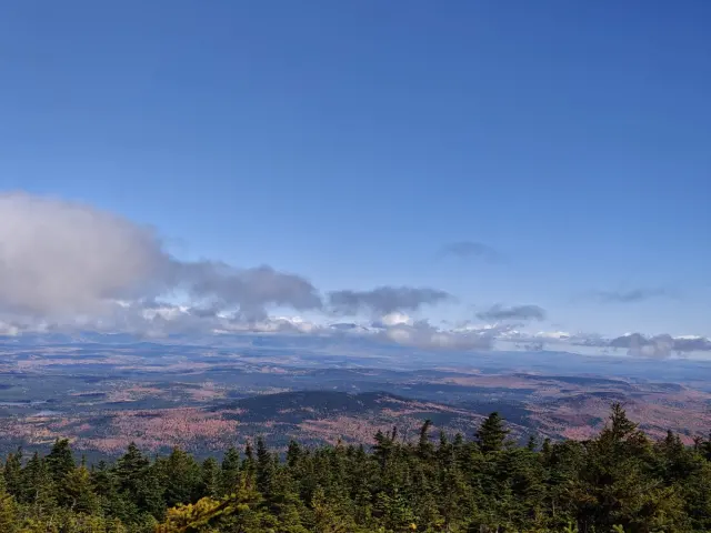
The wildcard is in Washington, just east of North Cascades National Park. Clue assumed the area would be mobbed, yet passed only two vehicles on the whole climb. The highest drivable road in the state clings to a cliff wall at Deadhorse Point with no guardrails — a single-lane dirt route with thousand-foot drops that keeps RVs and nervous drivers away. Primitive campsites near timberline at over 6,100 feet put you on the Pacific Crest Trail itself, with a rocky spur toward the 7,400-foot Slate Peak summit (views to Mount Baker) and a rougher high-clearance run down Chancellor Road to 1890s mining ruins near the Barron trailhead.
For travellers tired of generators and reservation wars, this is a genuinely useful starting point — three regions where solitude is still the default. None of them require a custom crawler, just a capable vehicle, spare fuel and water, and the confidence to take the unsigned turnoff. Credit: Outside Online.