
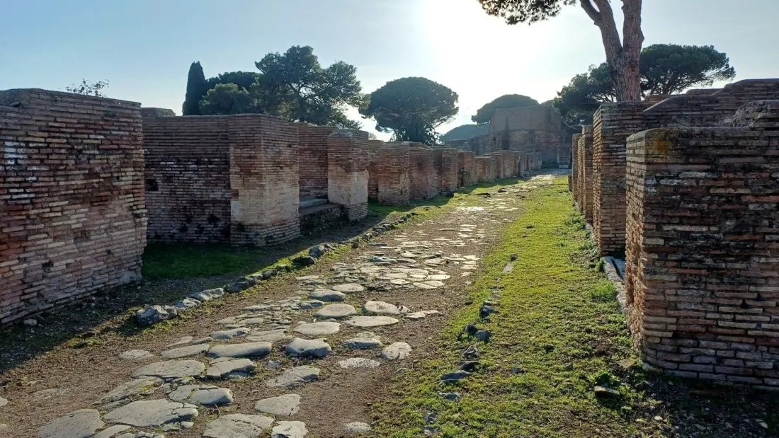
The famous saying "all roads lead to Rome" has just taken a hit. A study published in Nature Communications by researchers including Aarhus University archaeologist Tom Brughmans mapped the Roman Empire's entire road network — roughly 300,000 km of routes spanning Europe, the Middle East and North Africa — and found that Rome wasn't actually the centre of it. That honour goes to Constantinople, modern-day Istanbul.
Rome's first emperor Augustus had planted the gilded Milliarium Aureum, or Golden Milestone, in the Roman Forum around 20 B.C. as the symbolic starting point for all road distances. But the new analysis shows Rome was only really central for the Tyrrhenian coast of Italy. In a twist the researchers themselves found surprising, the most central road on the Italian peninsula runs down the opposite Adriatic coastline, bypassing Rome entirely. Provincial capitals — Ankara, London, Corinth among them — were the true road hubs of their regions, which made sense for administration and tax collection. And after Constantine shifted the capital to Constantinople in the early fourth century, that city proved far more central for overland travel across the empire, sitting as it does on the Bosporus where ferries already linked European and Asian road traffic in antiquity.
For travellers, the most useful finding might be this: many modern highways still follow Roman courses. In flat regions like Belgium, northern France and Italy's Po Valley, ancient roads ran arrow-straight, and you can drive them today without knowing it. In hilly terrain, even Roman engineers conceded to the landscape — they didn't move mountains to build roads.
A standout example is Spain's Via Augusta, which runs from Cadiz to the Pyrenees. Between Tarragona and Barcelona it passes beneath the Arc de Bera, a Roman triumphal arch where the old road and the modern N-340 motorway visibly share the same line. Britain, too, has plenty of stretches where Roman paving survives beneath or beside current routes.
These roads carried far more than legions. Most traffic was everyday life — farmers walking to fields, carts hauling goods to local markets, donkeys and camels with packs — alongside world-changing cargo like early Christianity, which spread along these very routes. Built from crushed stone, lime cement, gravel and paving stones, many stayed in use for centuries after the western empire fell in 476 A.D., serving as main routes until railways arrived in the 19th century.
If you're planning a trip around Roman history, this is a good prompt to look beyond Rome itself. Istanbul's position as the empire's true road nexus adds another layer to visiting the city. Ankara, London and Corinth reward the curious too, and roadside relics like the Arc de Bera make easy detours on a Spanish coastal drive. Sometimes the best ancient site isn't a ruin — it's the motorway you're already on.