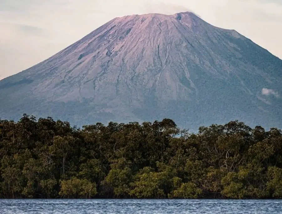
Rising 2,130 metres over the eastern city of San Miguel, Chaparrastique — also called San Miguel Volcano — is one of the most striking silhouettes in El Salvador. Its near-symmetrical cone dominates the skyline, and for locals it's less a geological curiosity than a constant presence that defines the region.
The mountain is a stratovolcano, built up over centuries from layers of lava and volcanic debris. Eruptions have been recorded since the 1500s, with lava flows in the 17th, 18th and 19th centuries helping shape the rough terrain around its flanks. It remains genuinely active: on 29 December 2013 a powerful explosion sent an ash plume roughly 9.7 kilometres into the sky and forced nearby communities to evacuate. Further explosions and ash emissions occurred between 2022 and 2023.
That history matters if you're thinking of hiking it. While the climb appeals to experienced hikers, the slopes are steep, loose and largely bare of vegetation, with strong winds and fast-changing weather. More seriously, the volcano can release toxic gases, ash and rock without warning — El Salvador's Ministry of Environment advises against approaching the crater, and some areas are off-limits. Anyone planning to visit should check official monitoring updates before setting out.
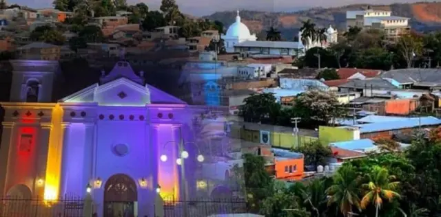
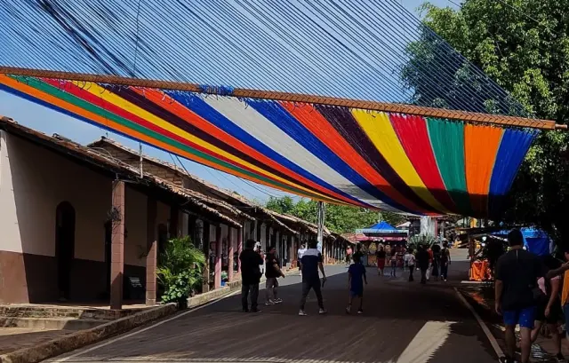
The good news is that you don't need to summit to enjoy it. San Miguel itself makes a solid base: a historic centre worth walking, busy markets, and plenty of traditional Salvadoran food. From the city and surrounding farmland in the San Miguel and Usulután departments, the cone is easy to spot and photograph, especially on clear mornings before clouds gather around the peak.
For travellers, Chaparrastique fits neatly into a wider eastern El Salvador itinerary — pair it with nearby towns, the country's Pacific coast, or other natural sights. The practical takeaway: treat it as a photo subject and cultural landmark rather than a peak-bagging objective, and let the monitoring scientists do the crater work.