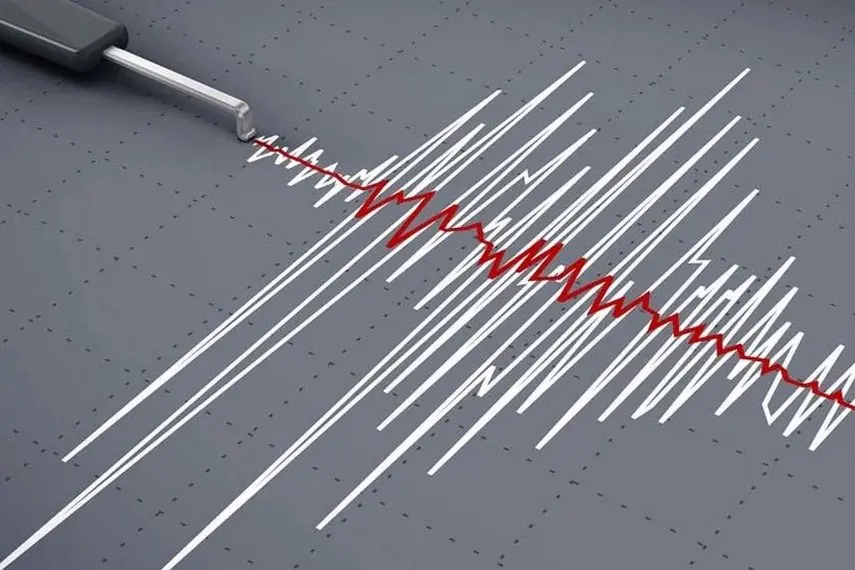
Kyrgyzstan's Institute of Seismology recorded three earthquakes in quick succession in the early hours of this morning, all clustered around the sparsely populated border zone between Kyrgyzstan and Tajikistan.
The largest struck first, at 3:34 a.m., measuring 5.5 on the MSK-64 intensity scale at its epicentre. That epicentre sat on the Kyrgyz-Tajik border, roughly eight kilometres southeast of the village of Bor-Debe and within about 35 kilometres of Sary-Tash — a village many overland travellers know well as a key stop on the route between Osh and the Pamir Highway. The second quake followed just ten minutes later at 3:44 a.m., a much smaller 3.5-magnitude event whose epicentre was inside Kyrgyzstan, about a kilometre southwest of Bor-Debe. A third, measuring 4.5 at the epicentre, came at 4:50 a.m., again on the border and about 127 kilometres southeast of Osh, the region's main city.
Because the epicentres were remote, the shaking felt in inhabited places was moderate. Villages recorded intensities of around 3 to 5 points: Bor-Debe felt the strongest effects at 5 points, while Taldy-Suu, Sary-Tash and Kara-Kindik registered roughly 4, and settlements including Sary-Mogol, Nura, Irkeshtam and Sufi-Kurgan felt about 3. No damage or injuries were reported in the initial bulletin, and the figures are all preliminary.
Frequent seismic activity is a fact of life in this part of Central Asia. Kyrgyzstan sits in one of the world's most tectonically active zones, where the Indian plate keeps pushing into the Eurasian plate and building the Tian Shan and Pamir ranges. Quakes of this size are recorded regularly, and most cause no harm simply because they strike far from towns.
Why it matters to travellers: this is exactly the corridor that adventure travellers use. Sary-Tash and nearby Sary-Mogol are the standard staging points for trips to Peak Lenin base camp, and the Osh–Sary-Tash–Karamyk stretch is the gateway to the Pamir Highway into Tajikistan. Anyone planning that route should know that aftershocks can follow a sequence like this one, that remote border areas have limited communications and medical facilities, and that mountain passes in the region are prone to landslides after strong shaking. It is worth checking local advice and road conditions before heading into the high country, and registering with your embassy if you plan extended treks near the border. Border zones here can also close temporarily after seismic events, so build some flexibility into any overland itinerary through the Osh region.