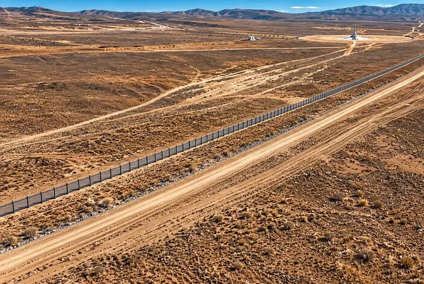
Kyrgyzstan has wrapped up a major border-infrastructure project in its remote southern corner. Authorities in Batken region confirmed that 327.5 kilometres of fencing and associated engineering works along the frontier with Tajikistan are now complete, with hundreds of kilometres of field roads built alongside it. The announcement came during a review of the region's socioeconomic performance for January to September 2026.
This stretch of the Kyrgyz-Tajik border has long been one of Central Asia's most sensitive. The two countries share dozens of enclaves and contested pockets in the Fergana Valley, and Batken has seen flare-ups of violence in recent years, most seriously in 2021 and 2022. A formal demarcation process has been under way, and installation of border markers is still ongoing — the fencing is one visible piece of that wider effort to fix lines that were never clearly drawn in Soviet times.
For travellers, the practical picture is mixed. On one hand, clearer borders and formal crossings generally mean less ambiguity about where you can legally walk, drive or camp — a real issue in a region where pasture paths routinely cross the old undefined lines. On the other hand, fenced and demarcated borders mean the informal crossings and cut-throughs that intrepid travellers once used are disappearing. If you're planning an overland route between Osh, Batken and Tajikistan's Sughd region, you'll need to use official checkpoints and carry your passport, including for any vehicle.
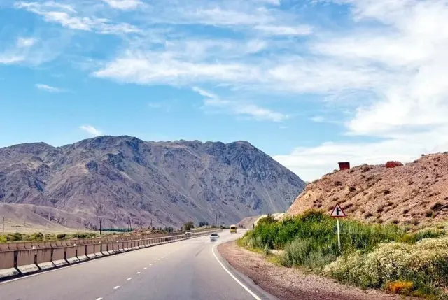
Batken itself remains one of Kyrgyzstan's least-visited provinces, which is precisely its appeal. The area is the gateway to the Turkestan Range and the striking rock formations around the Aydarken and Leylek districts, and trekkers use it as a quieter alternative to the more popular Pamir and Tian Shan routes. The town of Batken has basic guesthouses and is connected by domestic flights from Bishkek and road links via Osh. The border zone status means some areas close to the frontier may require permits or may simply be off-limits — check locally before setting out on any hike near the line.
The broader takeaway for anyone travelling in the Fergana Valley: the map is being redrawn in a very literal sense. Border towns that once straddled fuzzy lines are being pinned down, crossings are being formalised, and the free-flowing, slightly chaotic border culture of the past is giving way to standard international frontier controls. Plan itineraries around official posts, allow extra time at crossings, and keep an eye on the news — demarcation work is ongoing, and access rules can change at short notice.
For most visitors the changes are an administrative footnote rather than a deterrent, but they mark a genuine shift in how this once-remote corner of Central Asia is managed — and how travellers will move through it.