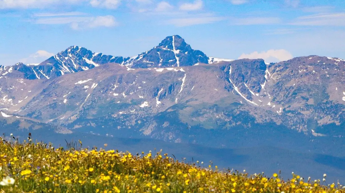
A snow streak on a rock face once convinced 19th-century Americans that God was endorsing westward expansion. That's the strange origin story of Mount of the Holy Cross, a 14,007-foot peak southwest of Vail that became famous after an 1873 photograph revealed what looked like a giant white cross on its northeast face — in reality, a vertical rock seam dusted with snow, crossed by a snowy horizontal ledge. Pilgrims, faith healers and youth groups flocked to pray beneath it in the early 1900s, and in 1929 President Herbert Hoover made it a national monument.
The designation didn't last. Officials abolished it in 1950, pointing to the remote location, tough terrain and low visitation — one of 11 national monuments dropped between 1930 and 1980. But the mountain landed on its feet: it's now the centrepiece of the 123,409-acre Holy Cross Wilderness, a rugged patch of the Rockies with glacier-carved valleys, spruce-fir forest, dozens of alpine lakes and more than 150 miles of trail.
For peak-baggers, the main event is the 11.4-mile Mount of the Holy Cross Trail (#2009), which gains over 5,000 feet to the summit. Rated Class 2 (intermediate) on 14ers.com, it's sneakily harder than that sounds thanks to more than 8,000 feet of total elevation change — you climb over Half Moon Pass, drop down to East Cross Creek, then grind uphill past the tree line in a section one hiker compared to climbing the stairs of a 100-story office tower. Near the top it turns into a hands-on boulder scramble marked by cairns, and the payoff is big: endless peaks, turquoise lakes and even a view of Vail Ski Resort's famous back bowls.
Two things worth knowing before you go. First, the trailhead sits 8 rough miles up Tigiwon Road off U.S. Highway 24, and overnighters will find 10 first-come, first-served campsites at East Cross Creek. Second, the route itself never actually shows you the famous cross — its position on the mountain hides it. To see the formation up close, hike Trail #2000 on nearby Notch Mountain instead, a strenuous outing with around 2,900 feet of gain. Descenders, take note: hikers warn it's easy to lose the cairn-marked route on the way down.
Timing matters. Late June through September is the reliable window, when high trails are mostly snow-free — July and August bring wildflower meadows, September sets the aspens glowing yellow. If one 14er isn't enough, Quandary Peak near Breckenridge (a 6.75-mile round trip) and the paired Grays and Torreys Peaks near Keystone sit within about two hours' drive.
For a base camp, skip the pricey resort towns. Minturn, 11 miles from the trailhead and home to fewer than 1,000 people, has a historic B&B (the Minturn Inn), a quirky pod-style hostel called The Bunkhouse, and a surprisingly good spread of BBQ, Thai and Mexican food for a village that size. It's the kind of low-key spot that makes an alpine start feel a little less brutal.