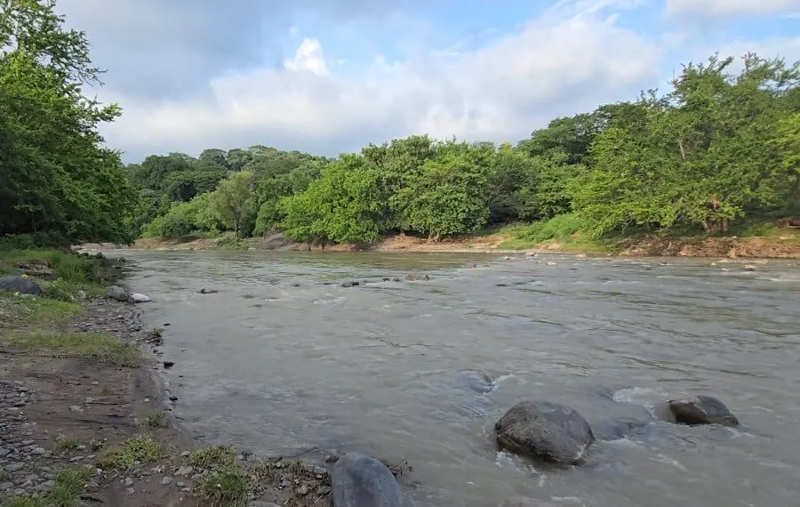
El Salvador may be Central America's smallest country, but it's criss-crossed by hundreds of rivers and streams that shape nearly everything a traveller sees — the farmland, the forests, the hydro dams and even the swimming holes. A new overview of the country's waterways makes a solid case for looking past the famous surf breaks and volcanoes.
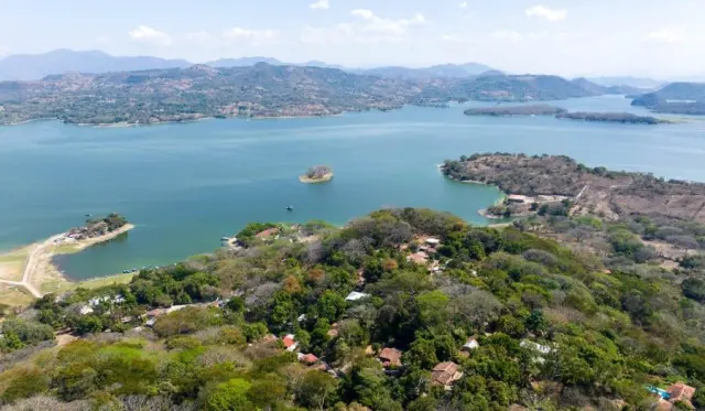
The undisputed heavyweight is the Lempa River. It rises in Guatemala, cuts through Honduras, then crosses El Salvador before reaching the Pacific. Along the way it feeds the country's largest watershed, powers hydroelectric plants and waters much of its agriculture. Two other rivers do double duty as international borders: the Paz marks part of the boundary with Guatemala, while the Goascorán and the Sumpul run along the Honduran line — the latter joining the Lempa system and carrying heavy historical weight from the 1980 Sumpul River massacre during the civil war.
In the east, the Grande de San Miguel drains the area around the city of San Miguel and swells dangerously in the rainy season. The Jiboa runs from central volcanic highlands down to the coast. The Acelhuate, which passes through San Salvador and feeds into the Lempa, is the cautionary tale: polluted by urban wastewater, it's a reminder that not every waterway is swimmable.
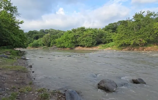
For visitors, the standout is the Sapo River in Morazán, in the country's northeast. It's known for clear pools, rock formations and forest surroundings, and it pairs naturally with the region's waterfalls. Elsewhere, Salvadoran families flock to easy-access swimming spots on weekends, and rivers double as places for birdwatching, nature walks and riverside picnics.
Timing and safety matter. El Salvador has a pronounced rainy season (roughly May to October) when rivers rise fast and currents turn treacherous — locals advise never swimming after heavy rain, however clear the water looks. The dry season is calmer and more predictable for river trips.
Why should a traveller care? Rivers reveal a side of El Salvador most itineraries skip: cool freshwater pools in the northern hills, mangrove estuaries where rivers meet the Pacific, and a working landscape where dams and irrigation canals are part of the scenery. If you've already ticked off El Tunco's waves and the Santa Ana volcano, the rivers of Morazán and the Lempa basin offer a quieter, greener counterpoint — and a glimpse of how central these waterways are to daily Salvadoran life.
Story reported by El Salvador Info.