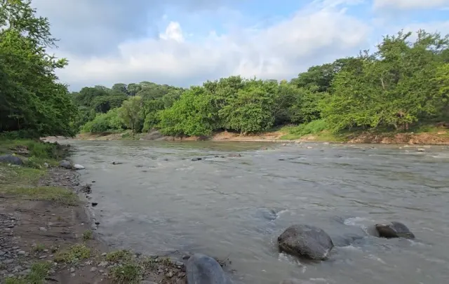
Most visitors to El Salvador tick off volcanoes and surf beaches, then leave. Few realise the country's defining natural feature is a river — the Lempa, which at roughly 422 kilometres is the longest in the country, with about 360 of those kilometres running through Salvadoran territory. It rises in the highlands of southeastern Guatemala near Olopa in Chiquimula, cuts through a slice of Honduras, then winds across El Salvador's mountains, valleys and reservoirs before spilling into the Pacific near the San Vicente–Usulután border.
The Lempa is far more than a line on a map. Its watershed covers around 18,000 square kilometres across three countries, and tributaries including the Sucio, Suquiapa, Torola and Sumpul feed a system that supplies drinking water — reaching as far as the San Salvador metropolitan area — irrigates farmland, sustains fishing families and generates a big share of the country's electricity. Four major dams sit along its course: Cerrón Grande, 5 de Noviembre, 15 de Septiembre and 3 de Febrero (formerly El Chaparral).
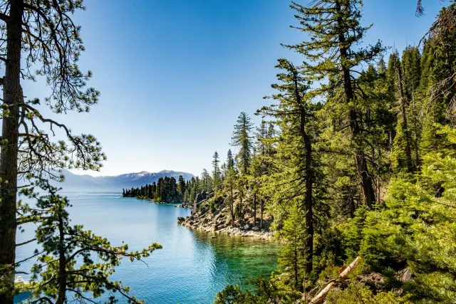
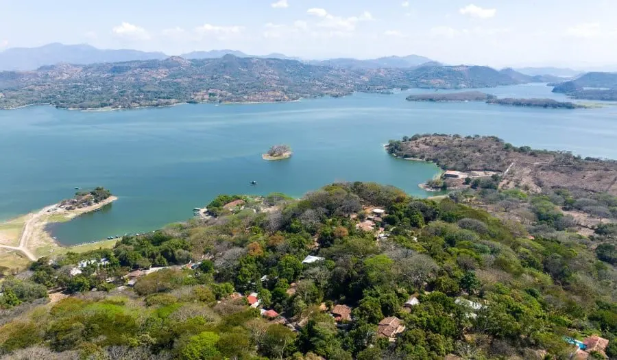
For travellers, the standout is Lake Suchitlán, the huge reservoir created by the Cerrón Grande Dam near the colonial town of Suchitoto. It's a genuine birdwatching hotspot, with wetlands ringing the water and boat trips on offer from local operators. Fishing communities and small tourism businesses line its shores, and the surrounding hills make for easy, attractive exploring year-round.
The lower Lempa is a different proposition: farmland, wetlands and coastal plains where the river meets the sea. It's rewarding rural scenery, but access can be patchy and some spots are best visited with local guidance. The river faces real pressures — wastewater, agricultural runoff, deforestation and erosion on hillsides, plus flooding in wet seasons and water shortages in dry ones — so conditions can shift with the weather.
Why bother? Because the Lempa shows you a side of El Salvador most itineraries miss. It ties together the country's daily life — power, food, water — with genuinely beautiful landscapes, from mountain headwaters to Pacific wetlands. If you've already done Ruta de las Flores and the beaches, a couple of days around Suchitoto and the lower river basin will feel like seeing the real engine room of the country.