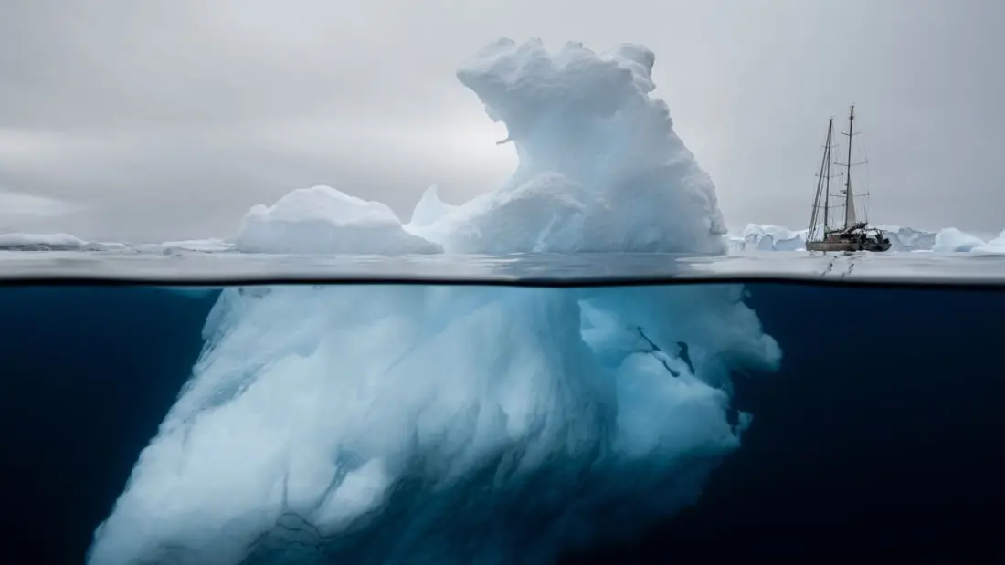
Fewer than 0.01% of people will ever set foot in Antarctica or at the North Pole. That's the problem a new partnership between expedition cruise line Ponant and the Woods Hole Oceanographic Institution (WHOI) is trying to solve — not by flying everyone south, but by giving the world's polar regions a visual identity strong enough to make people who'll never go still care about them.
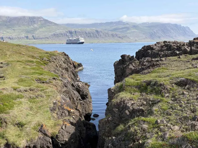
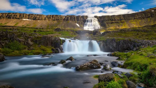
The centerpiece is the Polar Ocean Image Collection, unveiled in May as an extension of a partnership launched in 2025. It's a library of more than 500 images from the Arctic and Antarctic, available free through the Ocean Image Bank for non-commercial use. Over 200 photographers donated work, including shots from Ponant's in-house Polar Studio team — icebergs, polar bears, penguins, and enough shades of blue to fill a colour chart. WHOI's Richard Vevers, who leads the effort through the institute's storytelling unit Room 71 (named for the 71% of the planet covered by ocean), says the variety is what sets it apart. Scientists rarely have the budget to bring great photographers along; this fills that gap.
The stakes go beyond pretty pictures. Vevers, a former advertising executive who founded The Ocean Agency and helped make the coral-bleaching documentary Chasing Coral, has seen imagery move policy before — reef bleaching photos were used at COP21 in Paris to argue for the 1.5°C target that was ultimately adopted. The poles, he argues, suffer from a "white nothing" problem: people assume they're empty and lifeless, and scientists struggle to change that perception.
The collaboration is also producing hard science. Under WHOI glaciologist Dr. Catherine Walker, doctoral students have sailed to Antarctica on Ponant's Le Commandant Charcot — the only passenger ship with Polar Class 2 certification, able to break multi-year ice up to eight to ten feet thick. Aboard, they've measured glacier fronts and deployed LiDAR to model how fast the Antarctic Ice Sheet is breaking up, data that's tough to gather by satellite. The partnership is also testing a leatherback-turtle-inspired underwater robot that surveys beneath the ice, plus an infrared camera that spots whales up to three miles away — data that could help commercial ships avoid strikes.
Alongside the photography, WHOI is championing the Spilhaus projection, an ocean-centred map first drawn in 1942 that puts Antarctica at the middle of the map instead of the bottom. Viewed that way, the continent stops looking like a remote afterthought and becomes, in Vevers' words, the beating heart of the planet — the point where the Pacific, Atlantic and Indian Oceans all connect.
The partnership culminates in December 2027 with "Antarctica: Ocean (Re)Imagined," a dedicated citizen-science expedition aboard Ponant's Le Lyrial, blending research, interactive programming and travel. For travellers eyeing an Antarctic trip, it's a sign of where expedition cruising is heading: ships doubling as research platforms, and passengers contributing to the science rather than just sightseeing. And for everyone else, the free image library means the poles are now only a click away — even if you'll never feel the cold.
Story via Condé Nast Traveler.