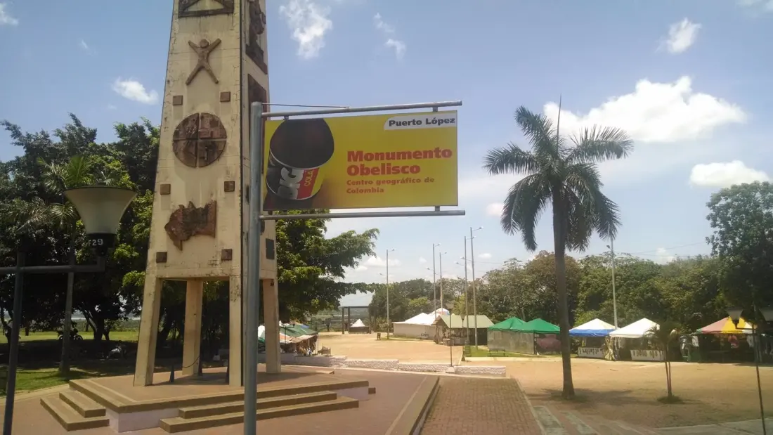
Colombia has an official belly button, and it sits in the savanna. Puerto Lopez, a river town in the eastern department of Meta, is home to Alto de Menegua, the spot the Instituto Geografico Agustin Codazzi calculated as the geographic midpoint of the country. Locals call it the ombligo de Colombia — Colombia's navel — and a 1993 obelisk marks the coordinates where the averages of Colombia's latitude and longitude converge.
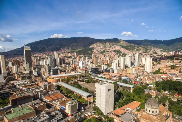
What makes this unusual is that most of Colombia's population lives in the Andes, yet the country's centre falls in the open plains of the Llanos Orientales. Sculptor Miguel Roa Iregui, who grew up travelling this road with his father, designed the monument with four faces covering the geographic centre, plains folklore, the region's ethnic and biological richness, and its farming economy. A map of Colombia with the centre's coordinates sits at the base, a reminder that the site rests on measurement rather than myth. He considered it the most symbolic work of his career.
Practical note: the details vary depending on who you ask. Most sources put the obelisk at 30 metres tall, others say 18, and the distance from town ranges from six to 15 kilometres. Ask locally before you set out.
Puerto Lopez predates the monument. Founded in 1935 as a port on the Meta River and renamed in 1937 after then-president Alfonso Lopez, it became one of the most important river ports in the region, moving people and goods towards the Orinoco. The town's history also has darker chapters — a 1952 army bombing during anti-guerrilla campaigns and decades of armed conflict — which makes today's peaceful, tourism-focused Puerto Lopez a real shift for residents.
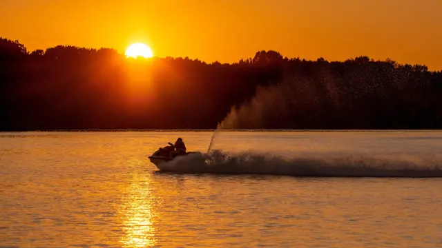
There's more to do than photograph a monument. The 47-metre Matapalo lookout tower delivers a 360-degree panorama, particularly prized at sunset. The Lagos de Menegua reserve nearby is good for birdwatching, and you can take boat trips on the Meta, visit cattle farms, or catch joropo — the fast-paced folk music and dance of the plains. On the food front, bagre (local catfish) dominates the menu.
Getting there means roughly two hours by car from Villavicencio or up to five from Bogota. Reviews are honest rather than glowing: some visitors find the monument modest and the park run-down, while others rate the savanna views among the best in the Llanos. The consensus seems fair — come for the wide-open horizon and the plains culture, not for a grand landmark.
This one suits travellers who've already ticked off Bogota and Cartagena and want a different Colombia: hot, flat, cattle country with music and rivers, plus the odd bragging right of standing in the exact middle of the country.