Some of America's best-known trails are suddenly on shaky ground. From a rolled-back mining ban in Minnesota to a push to repeal the 2001 Roadless Rule, recent federal policy shifts could reshape — or outright close — routes hikers have loved for decades. Backpacker has rounded up six of them, and each one doubles as a reason to lace up your boots sooner rather than later.
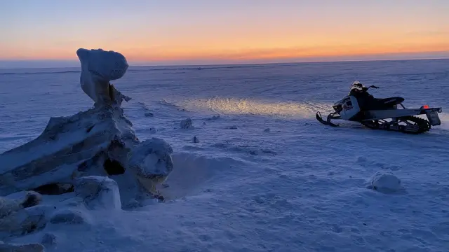
In northern Minnesota, the 39-mile Kekekabic Trail cuts through the Boundary Waters, a lake-studded wilderness where a 20-year federal mining ban was rolled back in April, potentially opening the region to sulfide-ore and copper-nickel mining. Start at the Snowbank Trailhead near Ely, finish on Gunflint Trail, and arrange a shuttle — water is plentiful thanks to a dozen-plus lakes along the way.
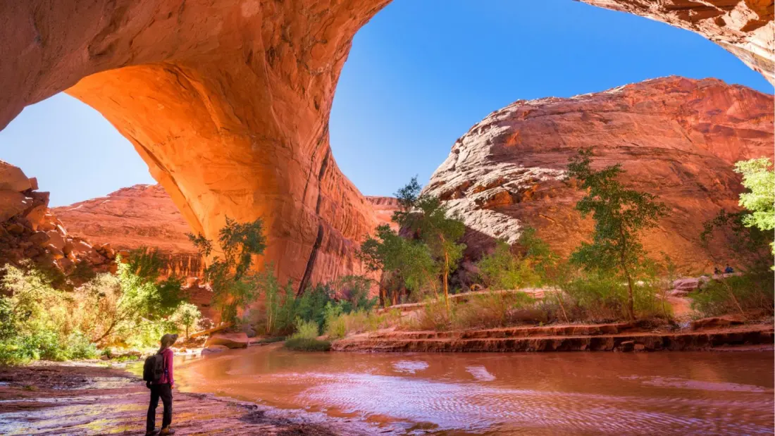
Southern Utah has two entries, both tied to monument downsizing. Grand Gulch, a 20-mile point-to-point through red-rock canyon country, holds Ancestral Puebloan dwellings and rock art far from any paved road — but Bears Ears National Monument's boundaries were cut by 90 percent in July, raising the spectre of mining and drilling. Closer to Escalante, the 6.5-mile Peekaboo and Spooky loop squeezes through famously narrow slot canyons; some sections are tight enough that a backpack barely fits. Bears Ears and Grand Staircase–Escalante were both shrunk at the same time.
Arizona's 800-mile Borderland Trail now has no southern terminus at all: the final mile from Montezuma Pass to the Mexican border was closed in April for border wall construction, ending the tradition of finishing at the terminus monument. The Continental Divide Trail faces the same problem.
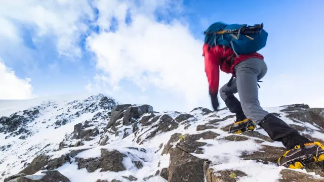
Even the mighty Appalachian Trail isn't immune. Roughly 45 million acres of national forest could be opened to roadbuilding and logging if the Roadless Rule is repealed, and several AT segments — including Bald Mountain and the Mount Rogers and Whitetop Mountain Fringe areas — sit squarely in threatened roadless areas. The 2,200-mile, 14-state classic takes the average thru-hiker about six months.
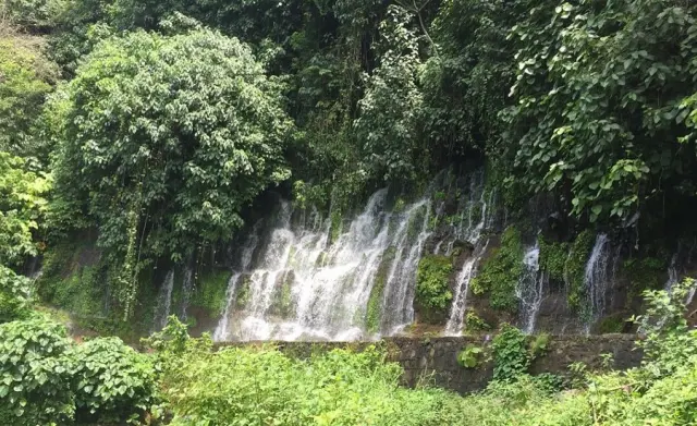
The most accessible of the six is near Bend, Oregon: a 7.2-mile out-and-back through the Tumalo Roadless Area, an old-growth forest of pine, hemlock, spruce and fir that hides dozens of waterfalls. The day-use area at Tumalo Falls is just 11 miles from town and busy on summer weekends, but the crowds thin fast past the first few miles. The area supplies drinking water for more than 100,000 people.
For travellers, the message is simple: these are working landscapes whose status is genuinely in flux, and hiking them now means seeing them as they are — and understanding what's at stake. Several are demanding trips requiring shuttles, permits and desert know-how; Tumalo and the slot canyons are easy weekend options if you just want a taste. Either way, the window on at least some of these routes may not stay open.