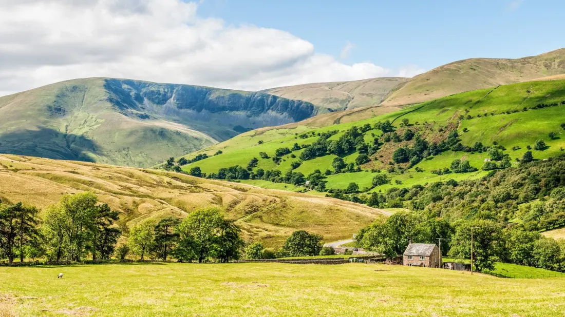
Alfred Wainwright reckoned the Howgill Fells looked like a herd of sleeping elephants, and standing on their rounded, grassy backs it's hard to argue. These smooth upland hills sit on the western edge of Yorkshire Dales National Park, wedged between Sedbergh and Ravenstonedale in that stretch of country where Cumbria meets Yorkshire. Because they're lower and far less famous than the Lake District peaks nearby, they attract a fraction of the visitors — which is exactly their appeal.
There's very little up here: few roads, fewer villages, and lots of open sky. Sheep and cattle graze behind dry-stone walls in the valleys, while fell ponies wander the higher slopes in all weathers. If you want big views without the summer crowds of Windermere or Ambleside, this is the answer.
The headline hike climbs The Calf, the range's highest point at 2,218 feet, via Cautley Spout — England's highest waterfall. The six-mile circular route starts just outside Sedbergh and takes roughly four and a half hours, with a steep pull that earns you views across to the Lake District and, on clear days, Morecambe Bay. Parking is limited to a handful of roadside spots near the Cross Keys Temperance Inn, so go early. The exposed hills offer little shelter, so pick a calm day and pack waterproofs.
Want something gentler? Start from Tebay, just off the M6, and follow the 5.7-mile route over Blease Fell and Hare Shaw. The gradients are kinder but the payoff is still strong: sweeping views over the Lune Valley and Borrowdale. Park at Mount Pleasant in Tebay near the trailhead.
Base yourself in Sedbergh, a small market town on the fells' edge with easy access to trails, places to stay and somewhere to eat. It's also a handy springboard: the Lake District is close enough that you can pair a quiet Howgills walk with a day in Grasmere or Windermere, getting both the solitude and the postcard classics in one trip.