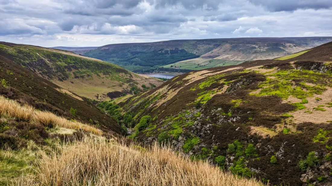
Before there was a network of National Trails in Britain, there was the Pennine Way. Opened as the country's first national trail, this 268-mile route runs up the spine of northern England from Edale in Derbyshire to Kirk Yetholm, a village sitting just 1.5 miles short of the Scottish border. It takes most hikers well over three weeks to complete, threading through three national parks along the way.
The route starts, fittingly, at The Old Nag's Head pub in Edale, around 45 minutes' drive west of Sheffield. Early miles climb Jacob's Ladder, a stone-marked path with sweeping valley views, before the trail pushes into the Peak District, England's first national park. The first serious summit is Kinder Scout, the highest point in the Peaks, and from there the way carries on across vast moorland: Marsden Moor's 5,000 acres of heath and bog, with traces of a Mesolithic settlement, and the glassy Wessenden Reservoir nearby.
Further north, the Yorkshire Dales deliver one of the trail's most photographed sights: Malham Cove, a limestone cliff towering roughly 230 feet above the path. Two miles on lies Malham Tarn, a lake with an impermeable slate bed, and then Pen-y-Ghent, one of the famous Yorkshire Three Peaks. Higher sections are stone-paved like old Roman roads, and the views from the tops justify every step.
The final stretch passes through Northumberland National Park and the North Pennines, a UNESCO Global Geopark holding some 500 million years of geological history. Hikers also walk alongside Hadrian's Wall here, getting close-up views of Roman fortifications before finishing in Kirk Yetholm. All told, the trail has 458 numbered markers, and it's signposted throughout with the acorn symbol used across the UK's national trails system.
The route is a genuine physical test: it climbs Cross Fell, the trail's highest mountain at nearly 3,000 feet, and crosses rough, boggy, often weather-beaten terrain. The best window is April to October, when the landscape is green and the heather moors of the Cheviot Hills turn purple in September. Kit should be light but complete: well-broken-in waterproof boots, layers for every kind of weather, power banks for phones and GPS, a good first aid kit, and physical maps, because large stretches have little or no mobile signal.
You don't have to commit to the full three-week epic. An official online map lets you build shorter sections, and many walkers simply pick a highlights route — a weekend around Malham, or a few days on the Hadrian's Wall stretch. Anyone with the legs and the time for the whole thing, though, gets the rare satisfaction of finishing one of Britain's most legendary long-distance walks.