If you're sailing within about 30 degrees of the equator, your barometer should behave in a peculiar but reliable way: pressure peaks around 1000 and 2200 local time, with dips at 1600 and 0400. This twice-daily pulse, typically between 1.5 and 2 hPa, comes from the sun heating the outer atmosphere and pushing a wave of air westward. It's subtle, but it's one of the most useful free forecasting tools on board — and when it disappears, something is wrong.
Meteorologist Simon Rowell, writing for offshore sailors, explains that a vanishing diurnal pressure swing is the classic sign of an approaching tropical wave, a dense cluster of squalls, or worse, a tropical revolving storm. His advice: log the actual pressure reading and note the correction separately, rather than just recording a tidied-up number. Clipper Race yacht CV20 showed the pattern clearly while crossing the North Atlantic Intertropical Convergence Zone last September.
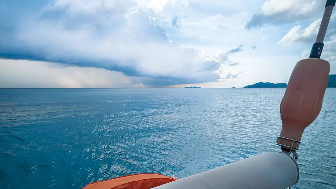
Tropical waves, known as African easterly waves in the North Atlantic, originate in the temperature contrast between the scorching Sahara and the cooler equatorial seas. That gradient drives a mid-level jet, the African easterly jet, stretching from the Sahara across to the Caribbean — sometimes carrying Saharan dust all the way with it. The jet sheds a disturbance every two to three days, like eddies off a fast stream, and these troughs trundle west at 15 to 25 knots. On the water you'll notice the wind backing then veering, heavier squalls, stronger gusts and more rain as one passes. Usually harmless — sailors often use them to top up water tanks — they can be hurricane seeds. In September, when they're strongest, roughly 40% develop into named storms with winds above 34 knots, and some carry on through the Caribbean into the East Pacific, occasionally sparking storms there too. One such wave passed over the rowing boat Monkey Fist Adventure mid-crossing from the Cape Verdes to Antigua.
Further east, the Madden-Julian Oscillation is the reason some weeks in the tropics are relentlessly squally and others are blissfully clear. This pulse of enhanced or suppressed convection circles the globe on a 30-to-60-day cycle, and it matters most in the Indian Ocean and West Pacific. A convective band starts in the Indian Ocean and swells to hundreds of miles across as it reaches the maritime continent around Singapore, Indonesia and the Philippines. It can strengthen or weaken the north-east trades heading into Singapore, and it can trigger cyclones — two appeared in the wake of one MJO passage in the southern Indian Ocean, visible a week after the entire region sat under deep cloud.
For anyone planning an offshore passage or an extended island-hopping season in the tropics, this is practical knowledge rather than meteorological trivia. Watching your barometer's rhythm costs nothing, gives hours of warning before squalls and waves arrive, and tells you when the settled trade-wind routine is about to break. It's the kind of skill that turns a long passage from guesswork into informed seamanship — and it explains a lot about why the forecast looks the way it does.