On 26 August, a flood tore through Nepal's Trisuli Valley in Rasuwa, triggered partly by a slope collapse on Langtang Lirung. It's the kind of disaster that has trekking communities and scientists alike asking hard questions about glacial lakes — the meltwater pools that can burst and send devastating floods downstream. And for answers, some are looking 10,000 kilometres away to the Andes.
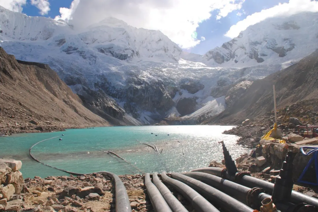
Peru has been dealing with glacial lake outburst floods (GLOFs) since the 1940s, and its record is instructive in both directions. In 1941, a flood from Lake Palcacocha destroyed much of the city of Huaraz, killing thousands. In 1970, a debris avalanche off Mt Huascaran buried the town of Yungay, claiming around 30,000 lives — still the deadliest glacier-related disaster ever recorded. Those catastrophes spurred decades of serious state-led work: a full survey of hazardous lakes in the Cordillera Blanca, engineered interventions at 34 of them, and a toolkit ranging from open channels to complex valve systems.
The sobering part is what happened next. Market reforms from about 25 years ago dismantled Peru's state agencies and privatised hydropower, and the work stalled just as global warming ramped up the danger. In 2024, Lake Palcacocha flooded Huaraz again for the first time in over 80 years. The lesson: glacial risk reduction needs sustained funding and oversight, not one-off projects.
There's been genuine knowledge-sharing, though. Mountain geographer Alton Byers of the University of Colorado Boulder organised USAID-funded exchanges between Peru and Nepal, including a five-week 2011 trek to Imja Tso in the Khumbu region. Peruvian engineer César Portocarrero later helped with projects there. Nepal has already lowered Tso Rolpa (2000) and Imja Tso (2016) by roughly three metres each, and four more lakes — Lumding Tso, Hongu-2, Lower Barun and Thulagi — are slated for similar work with Green Climate Fund support.
The Himalaya poses its own constraints. As Portocarrero put it, the first step to controlling a lake is building a road to it — much easier in the grassy Andes than in Nepal's deep valleys, which is why Nepali engineers lean on simpler open-channel methods. For travellers, the practical takeaway is that popular trekking corridors like Langtang, Rolwaling and the Everest region sit downstream of these lakes, and Nepal's hydropower and bridge infrastructure on flooded rivers is part of the same risk picture. Early warning systems — real-time sensors, targeted text alerts to schools and hospitals, and community workshops — are now the priority, alongside a growing push for climate reparations, echoed by Peruvian farmer Saúl Luciano Lliuya's landmark (if ultimately dismissed) lawsuit against energy giant RWE.
The core insight from both ranges: local knowledge matters. Every lake and every warning system is different — and places that have flooded once will flood again.