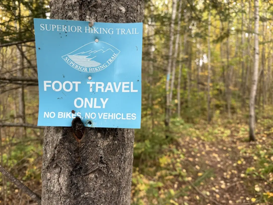
A thru-hiker's ninth day on Michigan's Superior Hiking Trail (SHT) turned into a lesson in not trusting an out-of-date weather forecast — and a good look at what this trail actually throws at you.
The day started well. Overnight temperatures stayed mild — 45°F inside the tent, no frost, no condensation problem — and by 8:40am she was packed and moving out from the White Pine area. The trail was forgiving: wide, well-graded old snowmobile track, with two snowmobile warming huts passed along the way, handy shelter options if a storm hits.
Then came the weird bit. Around midday, singing drifted through the woods, followed hours later by a woman's voice on a loudspeaker — some kind of raffle or sale at a nearby property, heard from deep in what felt like wilderness. A well-used gravel road crossing explained the noise, but it's a reminder that the SHT threads close to settled country in places.
Lunch was at Lone Tree Campsite, notable mainly for a rare luxury on this trail: a clean, lidded latrine, plus a single bar of phone signal. There she met Fireball, a southbound hiker whose Garmin promised rain at 4pm. Our diarist's own Garmin — never updated before leaving home — said zero percent chance. She pushed on anyway.
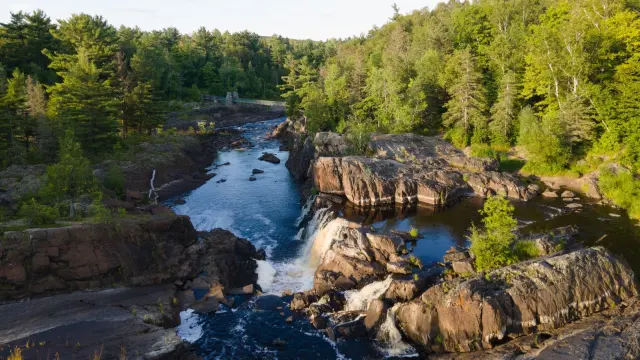
The afternoon delivered two things. First, a blue-ribboned detour around a flooded pond, which came with the trip's first proper view of Lake Superior from the trail. Second, a wall of heavy blowdowns — trees downed so thickly that every one required a decision between crawling underneath or clambering over. And, right on Fireball's schedule, the rain arrived at 4pm in earnest.
She reached Fox Farm Pond Campsite just after 5pm, tent up in the rain, everything else — dinner, dry clothes, teeth — done from inside. The meal of the day: Peak Refuel's Butternut Dal Bhat, a gift from friends and a solid cold-weather choice, even if it was sized for two appetites. She ate in the tent (risky bear protocol, but no alternatives in steady rain), slept with her food and filter, and hoped the pond beside her wouldn't flood.
Why should a traveller care? The SHT is one of the Midwest's best long trails — roughly 300 miles of ridgeline walking above Lake Superior's north shore — and this account is a realistic preview. Expect reliable, well-spaced campsites with latrines, wide snowmobile-trail sections that make fast miles easy, occasional re-routes around flooding, and genuine blowdown obstacles. The practical takeaway is simple: update your GPS/forecast device before you leave home, keep rain gear within reach rather than buried, and trust other hikers' fresher data over your own stale assumptions. Umbrellas, apparently, earn their weight here.
Anyone considering the trail in shoulder season should note the short daylight, cold mornings, and the fact that snowmobile infrastructure doubles as hiker shelter. The full story comes via The Trek.