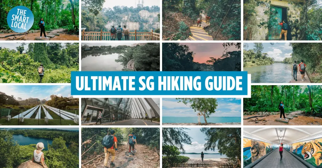
Singapore is famously compact, but it's also surprisingly green - and a new roundup of 50 walking and hiking routes shows just how varied the city-state's trails are. Distances run from a 0.4km staircase jaunt up Mount Faber (the Marang Trail) to a monster 150km Round-Singapore Trail for serious endurance hikers, so there's genuinely something for every fitness level.
The list is organised by region. In the centre, Bukit Timah Nature Reserve offers the quickest route up Singapore's highest hill - a 1.2km summit trail through 163 hectares of rainforest, doable in about 45 minutes. Nearby Hindhede Nature Park is an easier, family-friendly option with a playground and quarry views, though note that trails from its carpark are closed until the end of 2026 for upgrades; use the boardwalk entrance from the Bukit Timah visitor centre instead. The MacRitchie Loop, 11km-13km around Singapore's largest reservoir, is the tough one here, with a 25m suspended treetop bridge - expect crowds on weekend mornings.
Down south, the 10km Southern Ridges links five parks in one hike, while Labrador Nature Reserve serves an easy 2.1km waterfront stroll. Sentosa, better known for beaches, hides the 1.8km Coastal Trail and the 2.3km Imbiah Trail with its small waterfalls. In the north, Sungei Buloh Wetland Reserve is the pick for wildlife: its coastal and migratory bird trails (1.3km and 1.95km) come with a genuine chance of spotting wild crocodiles.
The north-east and east lean easy and scenic - Chek Jawa Wetlands on Pulau Ubin, the 300m climb to Puaka Hill for quarry views often compared to Bali, and the kid-pleasing 1km Changi Jurassic Mile with its dinosaur statues. Out west, Chestnut Nature Park is the country's largest nature park, Rifle Range Nature Park is the newest at 7km, and history buffs can walk the 2.1km Jurong Railway Line past an abandoned track or the WW2 memorials of Bukit Batok Nature Park.
For anything-goes walkers, the multi-region routes are the prize: the 36km Coast-to-Coast Trail, the ~14km Green Corridor following an old KTM railway line, and the 75km Round Island Route of linked park connectors.
Practical prep is minimal - the whole point is that ordinary walking shoes will do for even the hardest trails, though long trousers help against mosquitoes. The real challenge is the climate: heat and humidity drain energy fast, so water and snacks are non-negotiable. Some standout spots come with caveats - Bukit Brown Cemetery's unofficial trail leads to photogenic 'Avatar trees', abandoned cars and a 130-year-old temple, but the terrain is rated medium to hard, and Bay East Garden is partly closed for Founders' Memorial construction.
Who is this for? Anyone with a long layover or a free day in Singapore who wants more than malls and hawker centres. Most trailheads are reachable by MRT - Beauty World for Bukit Timah, Caldecott for MacRitchie, Clarke Quay for a riverside loop past murals and heritage bridges. It's one of the cheapest ways to see a different side of the island: entry to the nature reserves is free, and the only real cost is a sweaty t-shirt.