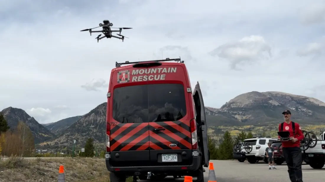
If you get lost or hurt in the Colorado backcountry these days, the first responder might not have legs — it might have rotors. Summit County Rescue Group (SCRG), an all-volunteer team based in Frisco, Colorado, is now flying drones fitted with speakers, spotlights and smart search software on real missions, and the results are changing how rescue operations work.
Rescue drone operator Nick Potochnick walked Backpacker through the setup. When a mission coordinator green-lights a drone flight, rescuers punch coordinates into the controller and fly straight to a subject's location. At night, a spotlight lights the person up. A speaker lets the drone operator talk directly to them — asking for a thumbs up, confirming injuries, and telling them help is on the way. That two-way contact reassures patients and, just as importantly, tells the ground team exactly what gear to bring before they hike in.
The drones also hunt autonomously. In a "hypersensitivity mode," the camera flags motion or odd colours across terrain, and operators can zoom in sharply or switch to thermal imaging to spot body heat. Every flight syncs with CalTopo mapping software, which tracks where the drone has searched, marks anomalies with photo-tagged pins, and gives ground teams live intel. SCRG rounds out the toolkit with Starlink internet in the field and specialised medical side-by-side vehicles for wilderness extraction.
It's not a Colorado-only experiment. Seattle Mountain Rescue in Washington has a dedicated programme for emerging tech, testing e-bikes for fast approaches, hiking exoskeletons that reduce physical strain, e-assist rescue litters that lighten the load on carry-outs, and AI-driven post-mission analysis. The common thread: these tools don't just find people faster, they protect the rescuers, who arrive fresher and with better information.
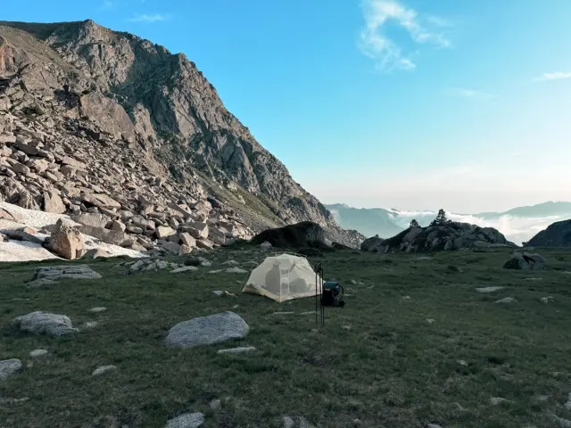
Why should a hiker or backcountry skier care? Because the technology gap in an emergency is now genuinely shrinking. Search areas that once took teams a full day to grid on foot can be scanned from the air in a fraction of the time, and a drone overhead means rescuers know your condition before they commit to a risky approach. Worth knowing: SCRG's entire operation — equipment, drones, vehicles — runs on donations and government grants, so supporting local SAR programmes is one of the most direct ways to keep this capability growing.
The takeaway for anyone heading into the mountains: leave a trip plan with coordinates or an itinerary, because precise location data is exactly what lets these drones do their job. And if you do end up needing rescue, don't be surprised if the first thing you see is a drone hovering above, asking how you're doing.
Backpacker