A tropical system churning in the western Pacific has been upgraded to Tropical Depression 29W, and the forecast track points straight at Guam and the rest of the Marianas this weekend.
As of early morning ChST, the Joint Typhoon Warning Center had the depression moving northwest at around 13 mph, with maximum sustained winds of 35 mph. That may sound modest, but the official forecast calls for a possible strong typhoon passing between Guam and Rota on Sunday. Meteorologists caution the track could still shift, so the entire Marianas chain is being told to prepare for at least tropical-storm-force winds in the 39-74 mph range.
Beyond wind, the system brings the usual triple threat: heavy rainfall, damaging gusts and dangerous marine conditions. Local authorities are advising residents and visitors alike to have their preparations wrapped up by Saturday evening, which leaves a narrow window for anyone on the islands to adjust plans.
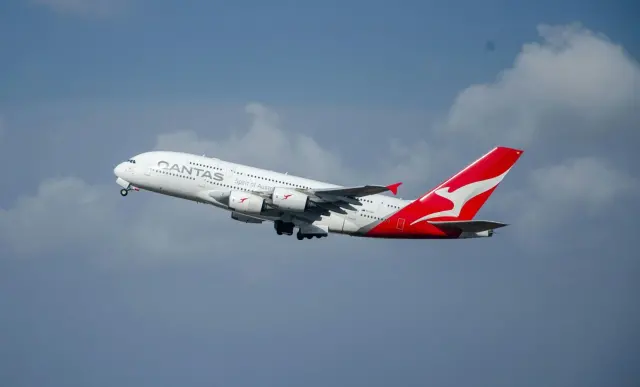
If you have a trip booked to Guam, Saipan, Tinian or Rota in the coming days, treat this as an active weather event rather than a maybe. Airlines typically issue waiver policies allowing free rebooking when a storm threatens an airport, so check your carrier's alerts before heading to the airport. Hotels on Guam will be implementing storm protocols, and ports and beaches are likely to close ahead of the worst conditions. Water and power outages are common in typhoon recoveries, so expect disruptions to linger after the storm clears.
One point worth knowing: the NWS Guam office does not set the island's Conditions of Readiness — those are determined separately by military and local authorities — so watch both weather.gov/gum and local government channels for shelter and closure announcements.