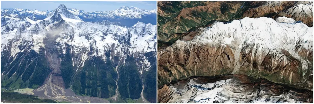
A single disaster in August put the gap between two mountain nations in sharp focus. When an ice-rock avalanche destroyed the Swiss village of Blatten, precise radar monitoring allowed a full evacuation and only one life was lost. Weeks later, on 26 August, a glacial debris flow surged up to 100 metres high through Nepal's Trisuli Valley, killing thousands. The question researchers are now asking: could Alps-style early warning work in the Himalaya?
The Swiss system relies on dense data — interferometric radar, LIDAR surveys and ground stations that caught tiny slope movements before the collapse. Nepal has river gauges for monsoon flooding, but nothing built for transboundary glacial lake outburst floods or massive ice-rock avalanches. Scaling Alpine technology to the Himalaya is daunting: the range is roughly three times the size of the Alps, its glaciers sit higher and farther from roads, and the equipment needs constant maintenance.
A starting point may be simpler. Kathmandu-based ICIMOD completed a glacial inventory in 2020, identifying 47 dangerous lakes across Nepal and China — but many have already grown as warming accelerates. Glaciologist Mohan Bahadur Chand of Kathmandu University points out that thawing permafrost is destabilising the rock under glaciers, leaving some ice masses hanging over crumbled slopes, ready to fail. A continuously updated inventory, he argues, would show where to focus costly precision monitoring first.
Money is the other hurdle. Nepal's government prioritises basic needs, and monitoring stations offer no guaranteed returns. Yet the private sector has skin in the game: the Trisuli alone hosts a cascade of 12 hydropower stations, every one damaged or destroyed in the August flood. Their upstream flood gauges were designed for ordinary monsoon surges, not a climate-driven deluge. Researchers suggest hydropower companies co-fund cryosphere research and warning systems as basic asset protection.
Technology alone didn't save lives in August — people did. Government SMS alerts reached many residents, but plenty underestimated the flood and stayed put. Meanwhile, grassroots networks worked: a single phone call to a downstream school principal got people moving. Researchers Tenzing Chogyal Sherpa and Chand have run community drills that turn evacuation routes into muscle memory, and they argue for stricter limits on building density along riverbanks. Most travellers will never face these risks, but the story matters to anyone trekking Nepal's valleys, rafting its rivers, or simply trying to understand how fast the world's highest mountains are changing. Nepal's glaciers cover just 2% of the country, yet they put a disproportionate share of the population downstream in harm's way — and, as Sherpa puts it, things are already happening fast.
Why it matters: the Alps show what's possible when data, planning and community drills come together. Nepal's challenge is adapting that model to a bigger, higher, poorer range — a live experiment in climate adaptation that travellers to the Himalaya should be aware of.