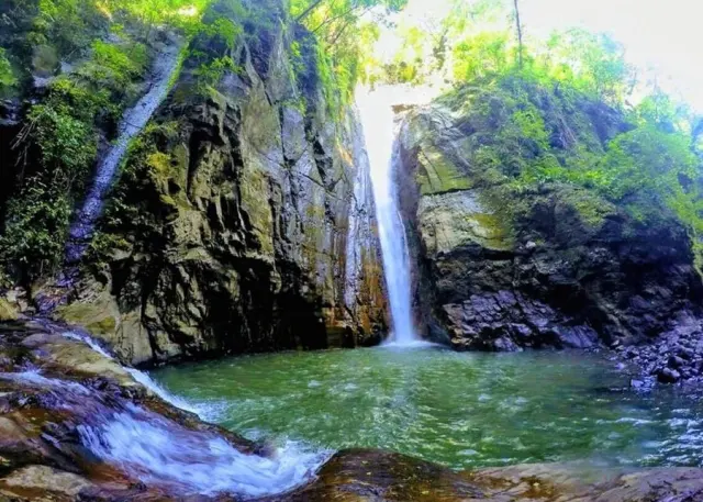
Somewhere near Telluride, Colorado, there's a spot locals call 'Little Hawaii' — waterfalls and mossy rock that look more tropical than alpine. For years it survived as word-of-mouth knowledge, passed along with an unwritten rule: don't tell anyone. Then it appeared in geotagged Instagram posts and blog write-ups, foot traffic spiked, and land managers found themselves dealing with damage at a place that was never designed, sanctioned, or maintained for mass visitation.
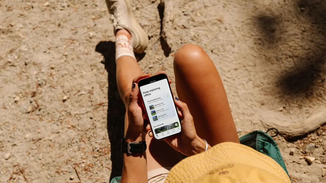
That story is a small example of a much bigger shift in how people hike. Not long ago, planning a walk meant picking up a paper map at the trailhead or, if you were ambitious, carrying a guidebook across an entire country. Now most hikers open an app. AllTrails, onX Backcountry, Gaia GPS, Komoot and Trailforks aggregate route data from official sources, user uploads and online chatter, so anyone can find elevation profiles, conditions and — crucially — routes that were never officially listed anywhere.
The upside is real: better navigation, fewer people getting lost, easier access to the outdoors for newcomers. The downside is that the internet doesn't distinguish between a maintained, capacity-managed trail and a faint social path someone flagged because it led to a pretty waterfall. Once an unlisted route is on a map with a star rating, it stops being a secret and starts being a destination. Land managers are left playing whack-a-mole — trying to close or de-promote sensitive areas that apps and forums keep re-promoting, often without the resources to even know where the crowds are heading.
That raises an uncomfortable question the outdoor community is only starting to grapple with: who actually owns and is responsible for trail data? A land agency might close a route, but if a crowd-sourced platform still shows it, hikers keep coming. And platforms profit from comprehensive, exciting trail lists, which creates little incentive to leave the good stuff off.
For travellers, the takeaway isn't to ditch the apps — they're genuinely useful and have made the outdoors safer for plenty of people. It's to use them with a bit of awareness. Check whether a route is officially designated before you go; a trail that looks like a hidden gem on an app may be an informal path that erosion, wildlife or the local ranger district simply can't absorb. Prefer marked and maintained routes in popular areas, follow local closures even if your map doesn't show them, and think twice before geotagging a spot a community has deliberately kept quiet. And when you're travelling, a stop at a visitor centre or ranger station still beats any algorithm — you'll get current conditions plus a sense of which areas are under pressure.
The debate over who manages trail information is only going to grow as more of the planet gets mapped, rated and shared. How hikers behave right now shapes whether the places they love stay worth visiting.
Reported by Adventure.com.