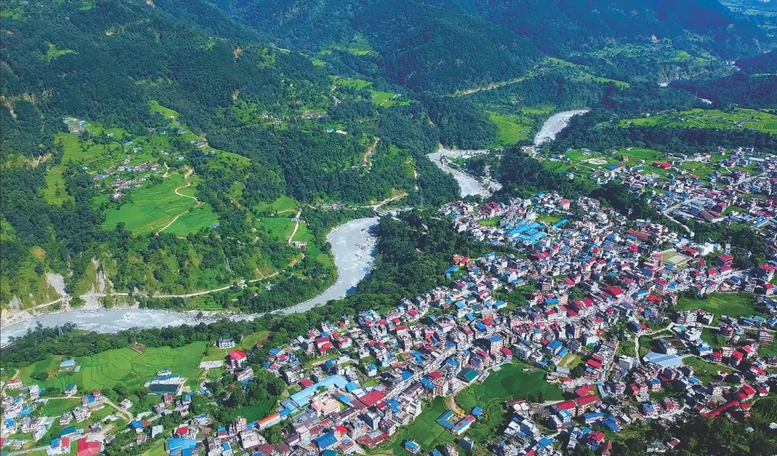
Three weeks after the catastrophic flood that tore down the Bhote Kosi and Trisuli rivers on 26 August, Nepal is taking stock — and the picture is grim. Around 1,400 bodies have been recovered but only 104 identified, while more than 6,000 people remain missing. The scale of the loss wasn't just bad luck: the worst-hit stretches were crowded market towns along the road corridor to Kathmandu and the sites of a dozen hydropower plants on the Trisuli basin.
Now experts are warning that the same script could play out elsewhere. Glaciologist Tenzing Choegyal Sherpa notes the flood wave topped 100 metres in places — higher than anyone assumed safe — and says riverside towns once considered secure no longer are. The settlements flagged as most exposed to a similar surge: Beni, Besisahar, Damauli, Bahrabise and Manthali. Climate expert Ajaya Dixit is calling for an urgent nationwide inventory of at-risk settlements along glacier-fed rivers from east to west, including the Tamor, Arun, Sunkosi, both Bhote Kosis, Marsyangdi, Budi Gandaki, Madi, Seti, Kali Gandaki, Myagdi and Karnali.
Why did so many people end up in the flood's path in the first place? The corridor thrived because it sits close to Kathmandu's power demand, and because hydropower — Nepal's oldest and newest plants both exploit the steep river gradient — plus road access drew in workers, traders and shops. Cross-border trade and tourism with China added momentum. A classic case, say researchers, of economic logic overriding the old wisdom of not building on floodplains.
The fix is politically awkward. Watershed expert Madhukar Upadhyay points out that relocation brings its own problems — resources, and residents' willingness to move — and can't happen without political consensus across national, provincial and municipal levels. Towns like Betrawati and Bidur may shift after witnessing the destruction firsthand; elsewhere it will be a harder sell. The near-term starting point, experts argue, is enforcing zoning laws and pushing new construction to higher ground, ideally now while the damage is still fresh in people's minds.
For travellers, the relevance is immediate. Several of the flagged towns sit on popular trekking routes — Besisahar is the trailhead for the Annapurna Circuit, Beni gates the lower Mustang and Dhaulagiri region, and Manthali is a staging point for flights to Ramechhap and the Everest region. Glacial lake outburst floods are fast, unpredictable and can strike outside the monsoon, so anyone travelling in Nepal's hill and mountain districts in the coming seasons should monitor local advisories, check route status with trekking agencies before setting out, and avoid camping or lodging directly on riverbanks. The disaster is also likely to reshape infrastructure and trail planning across Nepal's river corridors for years to come.
Story source: Nepali Times.