Two small towns that anchor the Continental Divide Trail are dealing with some of the worst flooding in their history. Pagosa Springs, Colorado, and Chama, New Mexico — resupply stops familiar to anyone who has hiked the CDT — have seen rivers burst their banks, roads wash out and evacuation orders issued after heavy, sustained rainfall across the Southwest.
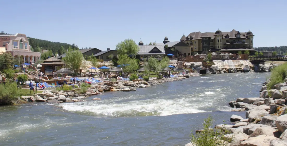
Pagosa Springs got it twice. The San Juan River hit major flood levels for the second time in roughly two weeks, prompting urgent evacuations of low-lying riverside zones on Saturday. Officials had warned of a potentially catastrophic event, citing the historic 1911 flood that destroyed much of the town. In the end the river crested at 16.81 feet on Sunday — below the worst-case scenario, but still among the highest levels on record. Water submerged parts of downtown, damaged or destroyed roads and bridges, and forced closures on the highway through the town centre. Waters began receding on Monday, yet evacuations remained in place and crews were stretched thin dealing with the damage from two severe floods in quick succession.
Chama, about 160 trail miles to the south, also faced mandatory evacuations covering a stretch of the community from the Elkhorn Restaurant south to Unser's at Highway 64/84.
The wider region has had a rough autumn. A strong El Niño year has pushed heavy rain across the Southwest, flooding large parts of southern Utah as well as Sedona, Arizona and Durango, Colorado. The Continental Divide Trail Coalition said the full extent of damage to the trail, its access roads and surrounding communities is still unknown, noting that trail towns are central to the CDT experience.
Why does this matter to travellers? Late October is a quiet window on the southern CDT, so few hikers are out right now — but anyone planning a shoulder-season trip through southwestern Colorado or northern New Mexico, or a visit to Pagosa Springs' famous hot springs, should expect closures, damaged routes and ongoing emergency operations. Check local and state transport updates before driving through the area, since highway washouts near downtown Pagosa Springs may take time to repair. If you have a CDT thru-hike planned for next season, keep an eye on Coalition updates over the coming months; repairs to trail segments and access roads could shape route decisions. The situation is also a reminder that flood-prone river towns in the Four Corners region can change conditions fast — always have a backup plan.