Corsica's GR20 has long worn the crown as France's hardest long-distance trail. A 112-mile mountain route with nearly 40,000 feet of climbing, it draws more than 20,000 hikers a year. But there's a challenger — and it's 5,800 miles from Paris, on Réunion, the French overseas island in the Indian Ocean.
The GR R2 crosses Réunion north to south: 109 miles, 38,091 feet of elevation gain, and around two weeks of walking through tropical rainforest, roadless valleys and volcanic wasteland. Unlike the GR20, you'll share it with almost nobody. It's also a longer season — May to November rather than Corsica's June-to-September window — though humidity and frequent downpours turn trails into mud.
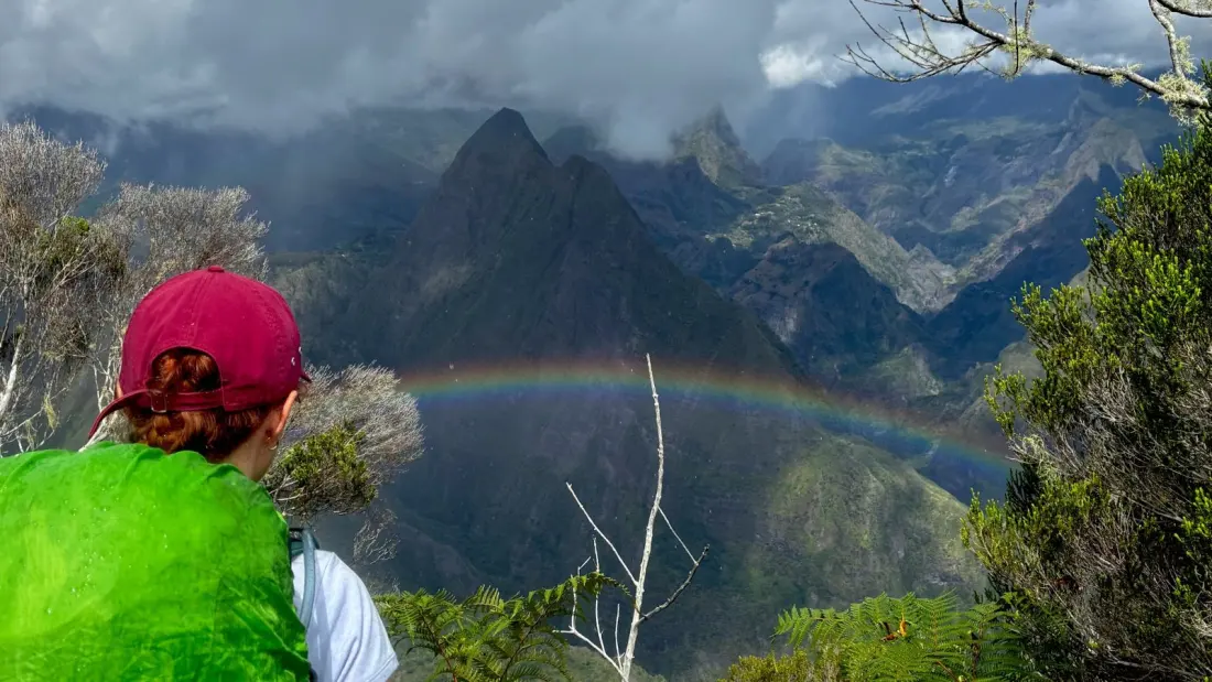
The route opens with a brutal climb out of La Providence near St-Denis, then passes the Refuge de la Roche Écrite, base for the first of three big summits. The heart of the hike is the Cirque de Mafate, a vast crater valley with no roads at all — supplies arrive by helicopter. Villages like Aurère, Grand Place, Roche Plate and Marla cling to cliffs and ridges, a legacy of the marronnage era, when enslaved people escaped into these inaccessible heights in the 17th to 19th centuries. Expect metal ladders bolted into rock on some sections, plus free trail snacks: strawberry guava and rose apple grow wild everywhere.
South of the Col du Taïbit pass, the trail hits Cilaos, the biggest town on the route and a welcome sight with supermarkets and restaurants. From there it's a steep push to Refuge de la Caverne Dufour for a sunrise or sunset summit of Piton des Neiges, Réunion's highest peak — the busiest spot on the whole trail, since many hikers come up just for the day. Wild camping is banned in this zone except on the summit itself, which is cold and windy.
The finale is otherworldly. The terrain dries out as the route approaches Piton de la Fournaise, an active volcano you can peer straight into on a day hike from Gîte du Volcan (note: no water sources nearby). The last descent to Basse Vallée drops roughly 7,500 feet over scree and roots — and with Réunion's near-equatorial location, the sun sets early year-round, so start it in daylight.
Practical notes: the GR R2 is poorly marked compared to the GR20's painted blazes, so a GPS watch or offline map is genuinely useful. Dispersed camping is generally tolerated in Mafate, but the gîtes there are excellent, serve proper Réunionese food, and your money supports these remote communities.
The verdict from someone who's done both? The GR R2 takes it — more relentless stage by stage, far quieter, and with constantly shifting tropical scenery: cloud inversions, rainbows, rainforest and Mars-red volcanic rock. If you've ticked off the GR20 or simply want a serious two-week hike with solitude, this is the trail. Just respect the season and pack for mud.