Most visitors to Massachusetts head straight for Boston's Freedom Trail or the Cape's beaches. But roughly an hour west of the city sits Upton State Forest — 2,660 acres of woodland where you can hike past Depression-era stone buildings, spot a pileated woodpecker, and still make it back for dinner in the city.
The forest has an unusual backstory. Algonquian and Nipmuck peoples lived here for thousands of years before settlers cleared the land for farming and timber, leaving stone walls, wells, and cellar holes you can still find on the trails. When logging got out of hand, Massachusetts created the State Forest Commission in 1914 to buy land for preservation, and Upton State Forest was established in 1935. The Civilian Conservation Corps arrived the same year, planting over 230,000 trees before the camp closed in 1938 — and several of their structures, including a former headquarters building and an old cottage that served as an infirmary, remain in good shape today.
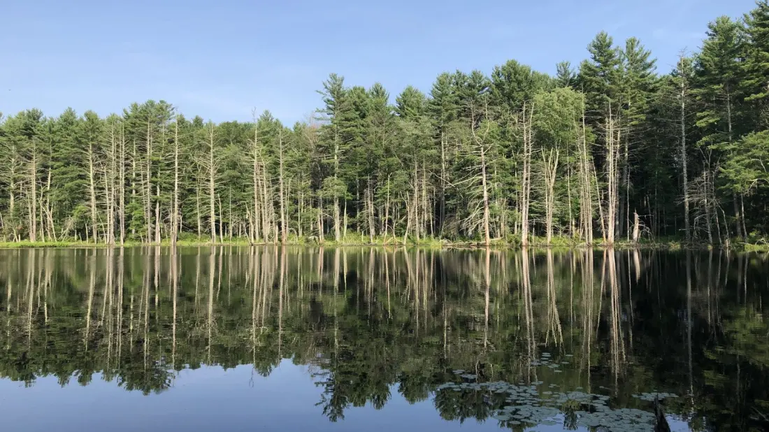
There are around 41 trails here, open to hikers, horseback riders, and mountain bikers, and in winter they switch over to snowshoes, cross-country skis, and snowmobiles. Three routes stand out. The 3-mile Park, Dean Pond, and Middle Road Loop leads to a tranquil reservoir created by a dam built in 1938. The moderate 3.9-mile White Hall Road and Park Road Loop circles the whole forest and passes the best of the CCC architecture. And the 3.7-mile Whistling Cave and Nuthatch Loop threads past ponds, old farm boundary walls, and Whistling Cave — a rocky formation also known as the Cave of the Winds. Many trails intersect, so you can stitch together longer loops as you go.
Wildlife is a genuine draw. You might see toads, turtles, bobcats, or even black bears, and birders have year-round chances at red-breasted nuthatches and pileated woodpeckers. Green-winged teal show up in autumn and early winter, and there's a great blue heron rookery between Middle Road and Bridge Road worth seeking out.
A few practicalities make the visit smoother. Trails are marked, but download the map before you go — cell service can be patchy. The forest is open sunrise to sunset, there are no trash cans, so pack out whatever you carry in, and bring enough food and water for your route.
Part of Upton's appeal is what surrounds it. The forest sits inside the small town of Upton, which has solid local restaurants for a post-hike meal, and about five miles west is Grafton, a larger town with more dining and classic New England streetscapes. For Bostonians craving a quiet nature fix, or travellers adding a green detour to a Massachusetts itinerary, it's an easy, rewarding half-day trip.
Story via Islands.