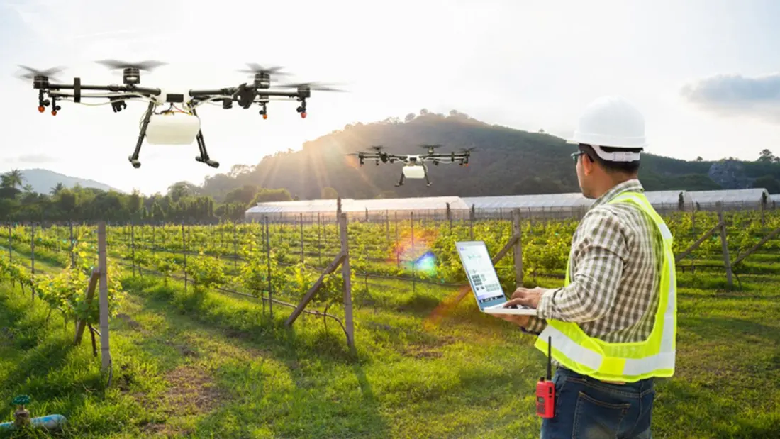
Farming in North and Central Asia runs on precarious margins. Conflicts, climate shifts and land degradation press on a region where agriculture employs more than 40 per cent of workers in Tajikistan and over 30 per cent in Azerbaijan and Georgia. With World Food Day (16 October) themed 'Innovate today. Nourish tomorrow.', the spotlight is on a less obvious hero: satellite data and geospatial tech that are changing how farmers and governments make decisions.
The farmer-facing tools are already live. Kazakhstan's AgroData app pulls data from 226 agrometeorological stations to give growers real-time readings on weather, soil moisture and crop health. Azerbaijan's Farmer App and Russia's KosmosAgro do similar work, from tracking vegetation to flagging pests. Kyrgyzstan, working with the World Food Programme, trained around 5,000 rural residents across 13 sites to interpret climate data from portable equipment, and is developing AgroMap, a free app for environmental and agronomic updates.
Governments are getting in on the action too. Turkmenistan uses GIS mapping around Lake Altyn Asyr to identify viable farmland, while Kazakhstan's AgroSpace platform maps field borders, crop history and conditions to back up subsidy applications. Uzbekistan is going further: alongside its first census since independence, the National Statistics Committee is pairing satellite imagery and machine learning with cadastral boundaries in the Tashkent region, aiming to measure cropland field by field rather than pixel by pixel — a big deal where farmland is fragmented into small plots often cropped twice a year.
The missing piece has been skills and institutions. Since 2024, ESCAP has run a Russian Federation-funded project across Kyrgyzstan, Tajikistan and Uzbekistan, training more than 140 technical staff from space agencies, met services and universities by July 2026, with technical support from drought-monitoring nodes in China, India and Russia. Kyrgyzstan has since geocoded its 2022 census and used geospatial data for SDG indicators on rural road access, feeding into its 2025 Voluntary National Review.
For travellers, this is a story about the places you might cross on a Silk Road route — the steppe farmlands of Kazakhstan, the valleys of Kyrgyzstan, the oases of Uzbekistan — adapting to a changing climate with some genuinely clever technology. It's also a reminder that rural Central Asia is far more dynamic than the postcard image of endless steppe, and regions like Tashkent's outskirts blend working agriculture with easy access from the capital. Worth remembering if you're the kind of traveller who likes to see how a place actually feeds itself.