Two earthquakes rippled through the Atlantic off Lanzarote, but the short version for anyone with a Canary Islands trip booked is: nothing to see here.
The first tremor, magnitude 2.6, was recorded at 4.36am local time at a depth of 19.2 miles. A stronger magnitude 3.1 quake followed around 6.08pm the same day, west of the island. Spain's National Geographic Institute logged both under its broad "Atlántico-Canarias" label, meaning they struck well offshore rather than close to land. No damage was reported, and there were no significant reports of anyone feeling them.
This kind of seismic background hum is entirely normal for the archipelago. The institute says the zone — particularly the channel between Tenerife and Gran Canaria — sees roughly 400 to 500 earthquakes a year, only five to seven of which exceed magnitude 2.5. Anything under 3 is classed as a micro-earthquake: too weak to damage infrastructure and rarely felt unless you're very near the epicentre or high up in a tall building.
There have been larger events historically. One of the biggest of the past half-century hit on 9 May 1989, magnitude 5.2, and was widely felt on Tenerife and Gran Canaria. But that remains the exception — most offshore tremors in the Canaries pass entirely unnoticed by holidaymakers.
The UK's Foreign, Commonwealth & Development Office carries no earthquake warning in its travel advice for the islands. Its actual cautions for the region are more mundane: flash flooding, heatwaves and wildfires are the things worth planning around.
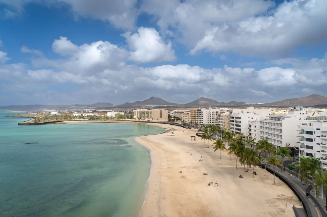
So if you're heading to Lanzarote for its volcanic scenery, surf beaches or the Timanfaya National Park, these tremors shouldn't shift your plans. Book the trip, keep an eye on the usual weather advice, and enjoy the island.