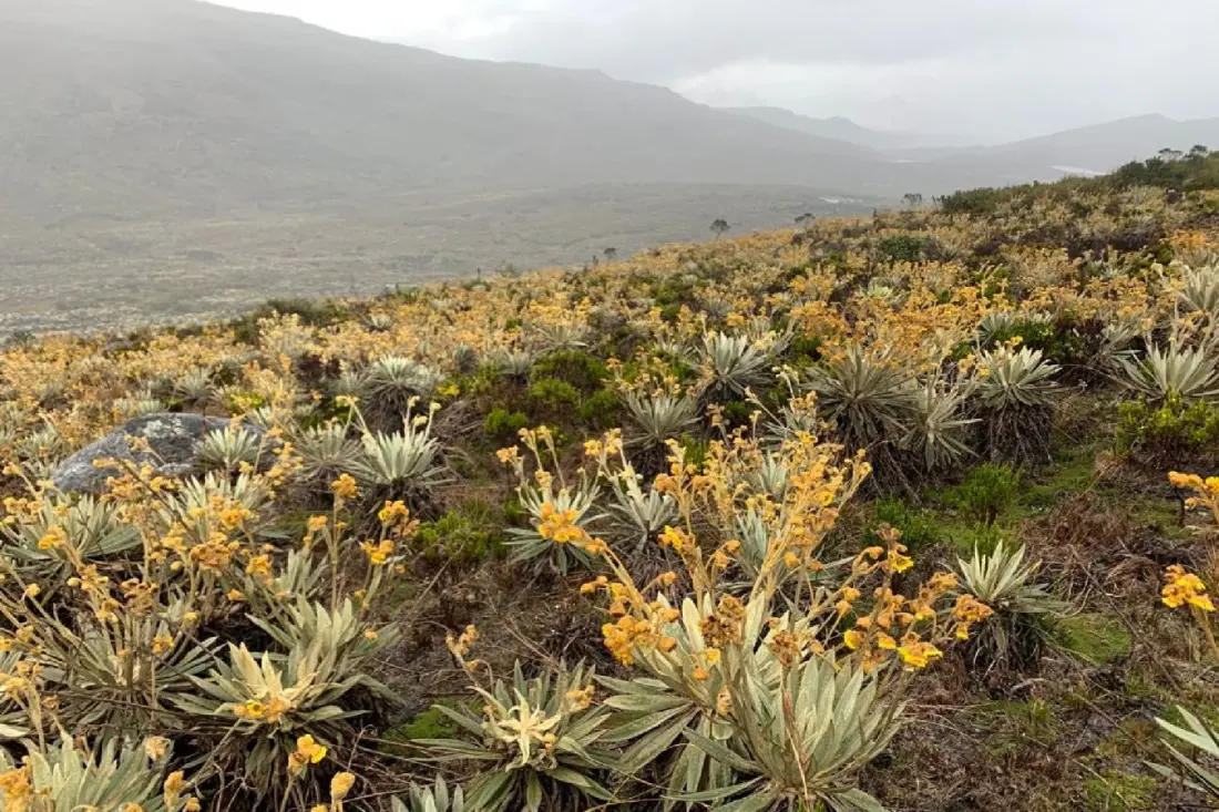
High in the Colombian Andes, a spiky, otherworldly plant called the frailejón rules the páramo — the high-mountain wetlands often described as the country's water factories. These plants also grow in Venezuela and Ecuador, but here's the strange part: scientists still aren't sure how many species actually exist. Professor Francisco Gómez of the National University of Colombia (UNAL) is trying to settle the debate by growing frailejones at 3,400 metres above sea level in a common garden experiment, waiting for them to flower to see which are truly distinct species and which are just the same plant adapting to different conditions.
The method behind the research has come a long way. Gómez's team originally traced leaf outlines by hand in pencil on white paper to measure around 1,700 specimens. Now, artificial intelligence pulls plant traits automatically from 3D scans — many captured by local farmers, who are credited as co-researchers on the project. That work has grown into GeCoVIDA, a joint project with Germany designed to speed up the discovery of Colombian biodiversity using robotics and AI, with plans to expand from the Bogotá campus to others, starting with the Amazonia campus in Leticia.
The technology is also changing how researchers measure the carbon locked inside coastal mangroves. Paula Cristina Sierra Correa of Colombia's marine and coastal research institute Invemar recalls the old way: cutting trees down entirely to calculate their biomass. Today, a laser scanner records hundreds of data points on trunks and roots, AI processes them through biomass equations, and whole forests can be mapped without harming a tree. Invemar also runs Latin America's only mobile environmental DNA lab — a container that can travel internationally — which identifies species from genetic traces left in water. That data underpinned the creation of the Beata marine protected area north of La Guajira.
The pace of change is striking. Sierra Correa remembers spending entire nights running satellite image analyses during her master's degree, only to find errors in the morning and start over. Her team now processes 600 images quickly, with a goal of mapping the planet's seabed before 2030.
For travellers, this matters more than it might first appear. The páramos — Chingaza and Sumapaz near Bogotá, or Los Nevados near Manizales — are among Colombia's most rewarding hikes, and frailejones are the plants you'll be walking among. Mangrove channels around Cartagena and the Sierra Nevada foothills are increasingly popular boat and kayak trips. The science happening in these places is part of what keeps them protected, well-studied and open to low-impact tourism. Gómez puts it plainly: the goal is taking the university's knowledge to the territories that need it — from La Mojana to the corals of San Andrés to the Sierra. Responsible travel to these ecosystems benefits from exactly this kind of work.
Story reported by Colombia One.