Deep in southwestern New Mexico, the Continental Divide Trail does something unusual: it plunges into a river and stays there. Where the route passes through the Gila canyon, hikers cross the water dozens of times, sometimes hundreds, wading through currents that reach the hip even in narrow spots barely ten feet wide.
A recent trail journal from The Trek follows a small group of thru-hikers through one such stretch, and it reads as both adventure story and practical warning. Rain two days earlier had left the Gila running high, silty and cold. The hikers descended more than a thousand feet from the open plateau into the canyon, zipped every pocket shut, wrapped their gear in plastic and stepped in. The crossing itself was painful, they wrote, but stepping out onto cold sand, blood rushing back into chilled legs, was worse.
The canyon floor added its own challenges. Past floods had stacked fallen trees and debris into walls along the banks, creating a miles-long obstacle course. The group scrambled over floodrack, crawled under deadfall, slogged through quicksand and battled willows that tripped like cables. Progress was slow: just over six miles took nearly six hours. Animal tracks in the mud told them few people had walked here since the flooding — black bear, fox, mule deer, ringtail cat and horse prints, but no boot prints. One hiker even spotted a Mexican gray wolf loping through the tall grass on the plateau above.
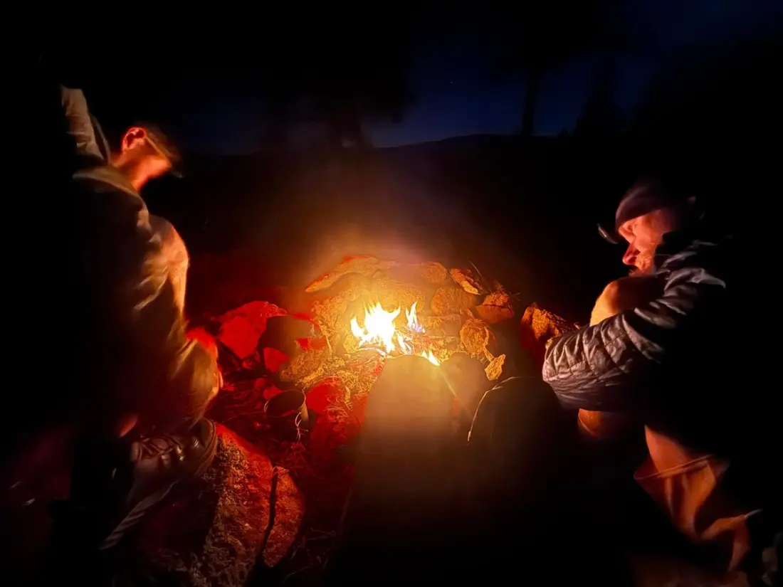
There are rewards, though. Cave overhangs along the cliffs bear blackened ceilings from generations of cookfires, evidence of people who lived here long before the trail existed. The group eventually climbed out of the canyon to the rim, camped at the edge without tents — fire instead — and watched a full moon flood the canyon in silver light.
The human history is real and visitable: near the trail's exit point lie dwellings built into caves more than 700 years ago, at what is today Gila Cliff Dwellings National Monument. The hikers celebrated with pizza and homemade ice cream, then bedded down beside the river near natural hot springs. It didn't go perfectly — by 2:38am condensation off the river had soaked their quilts and one hiker gave up on sleep, took every layer off and slipped into the steaming pool instead, floating on his back under a moon a day past full.
Why does this matter to a traveller? Because this corner of New Mexico is one of the most distinctive corners of the American Southwest, and you don't need to hike 3,000 miles to taste it. Day visitors can explore the cliff dwellings, hike short sections of the river trail and soak in developed and primitive hot springs along the Gila. Go in autumn for golden cottonwoods and manageable water levels, or spring for wildflowers — but check conditions first. After heavy rain or snowmelt, the river crossings that make this area famous become genuinely hazardous, as this journal makes clear.
Bring water shoes, a dry bag for electronics, and a change of clothes. And if you camp near the river in a cold month, expect heavy condensation — maybe plan to be in the hot spring at dawn instead.